SW Coast Path · 2026
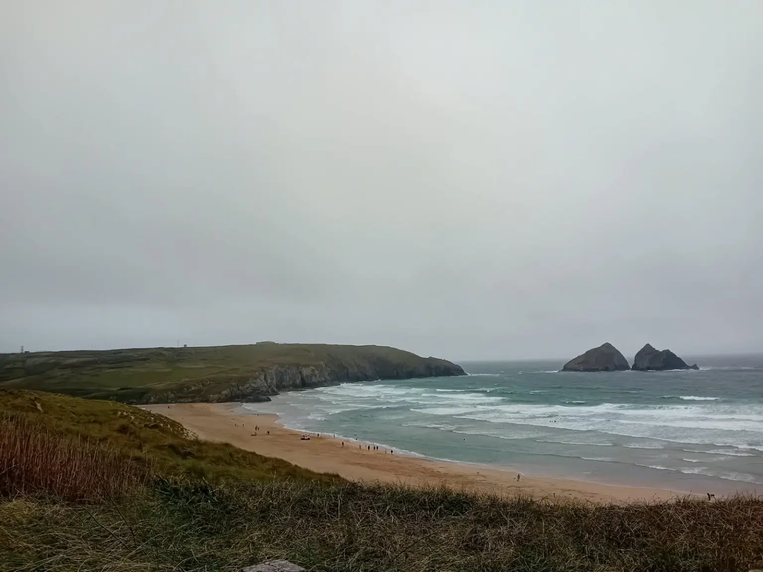
Perranporth to Crantock
North Cornwall · 7.65 miles
Difficulty: Moderate
Wind, dunes, seals and a safe change of plan at the Gannel.
Read the full reportChoose your next read
Explore Dartmoor walks and South West Coast Path hikes through my first-hand reports, with photographs and practical notes from days out across Devon and Cornwall.
My Dartmoor walks range from tor-filled circular routes around Merrivale and Burrator to forest trails, river crossings and longer days on the open moor. Read about the terrain, conditions and memorable moments, with parking details and route links where available.
For sea views, explore my South West Coast Path walks in Devon and Cornwall, from sheltered coves to demanding cliff-top stretches. Use the filters below to find a report by place, year or distance, or browse my long-distance hiking challenges. These are accounts of my own outings to help you plan your next adventure.
11 hikes found
SW Coast Path · 2026
North Cornwall · 7.65 miles
Difficulty: Moderate
Wind, dunes, seals and a safe change of plan at the Gannel.
Read the full report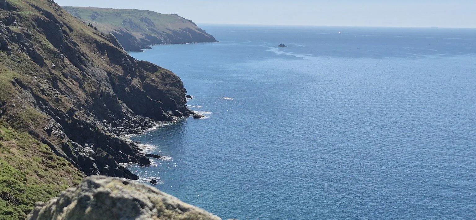
SW Coast Path · 2026
South Devon · 13 miles
Difficulty: Hard
Hot coastal miles, endless sea views and a cold beer at the finish.
Read the full report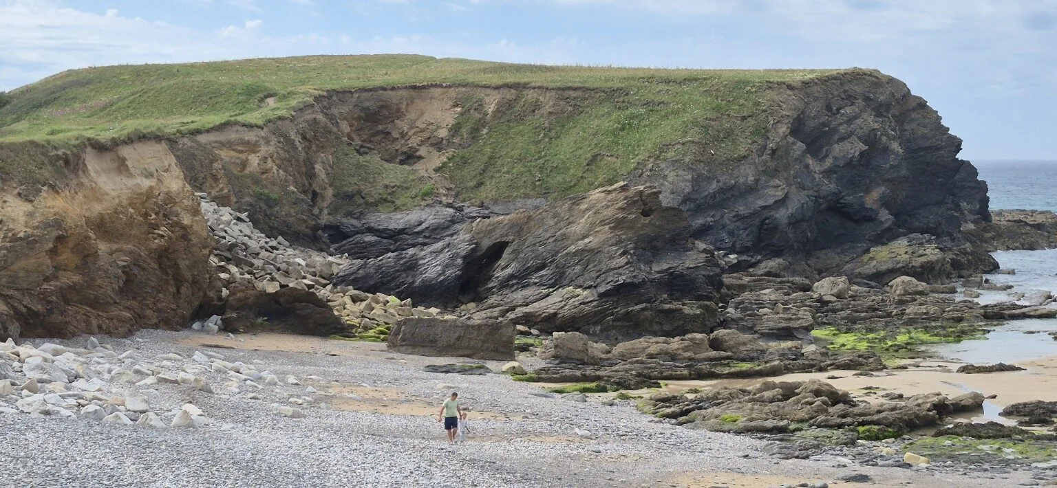
SW Coast Path · 2026
Cornwall · 14 miles
Difficulty: Hard
Coves, a rebellious footpath, a wedding and a vital ice cream.
Read the full report
SW Coast Path · 2026
North Devon · 14.54 miles
Difficulty: Hard
Wild cliffs, strong winds, a pub stop and an accidental extension.
Read the full report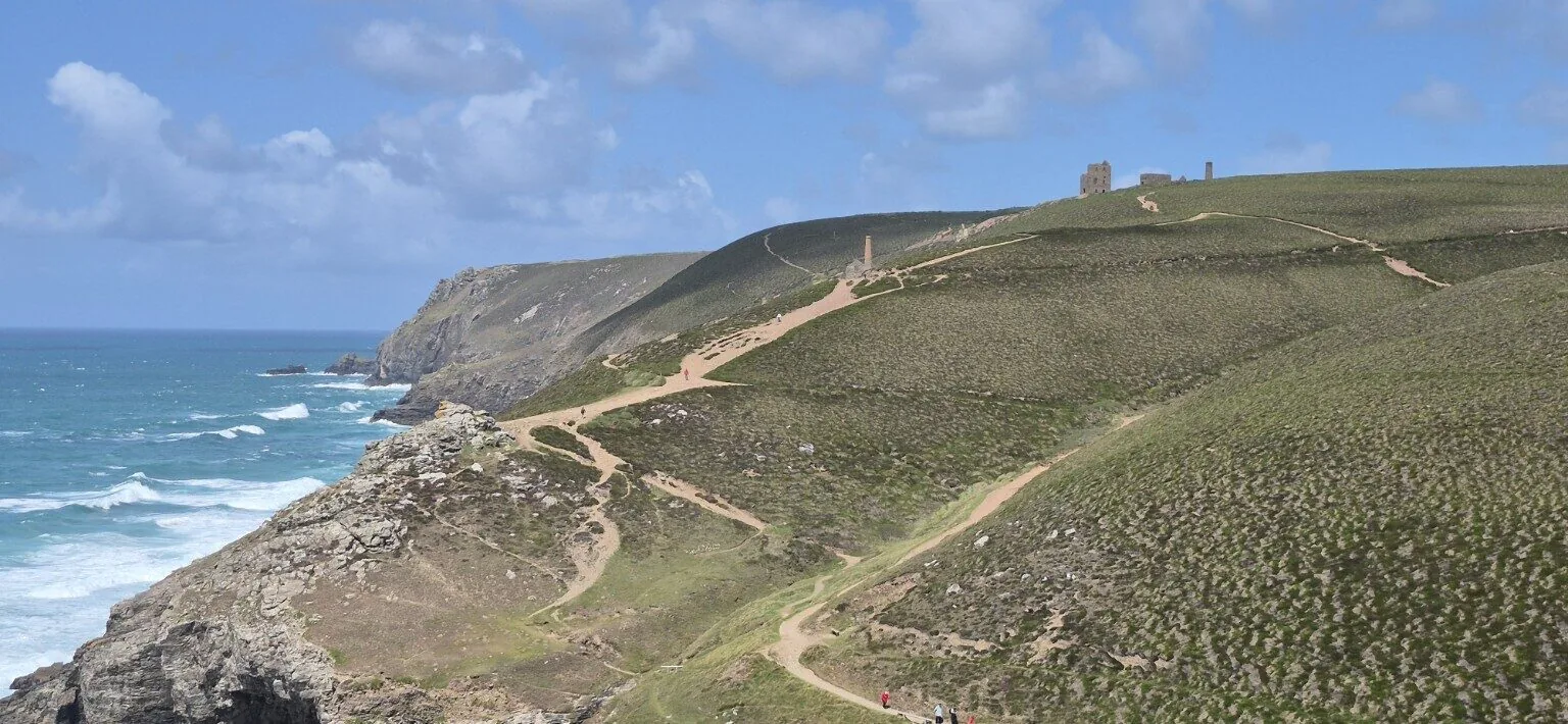
SW Coast Path · 2026
Cornwall · About 9 miles
Difficulty: Hard
St Agnes Head, Wheal Coates and dramatic Atlantic views.
Read the full report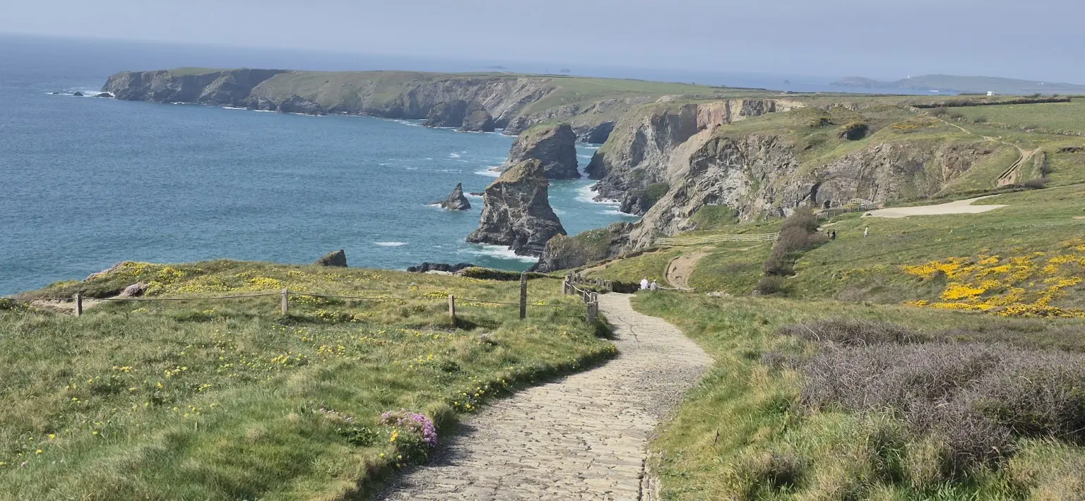
SW Coast Path · 2026
North Cornwall · 8 miles
Difficulty: Moderate
Secluded coves, evening light and a sunset partly beaten by cloud.
Read the full report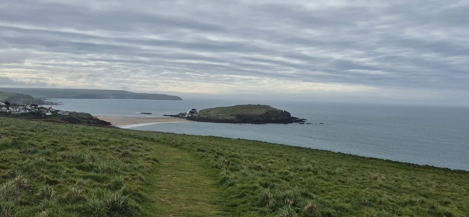
SW Coast Path · 2026
South Devon · Around 8 miles
Difficulty: Moderate
An approximately eight-mile circular hike from Ringmore to Burgh Island with Kay Burry and Barry, warm spring sunshine and a stop at the Pilchard Inn.
Read the full report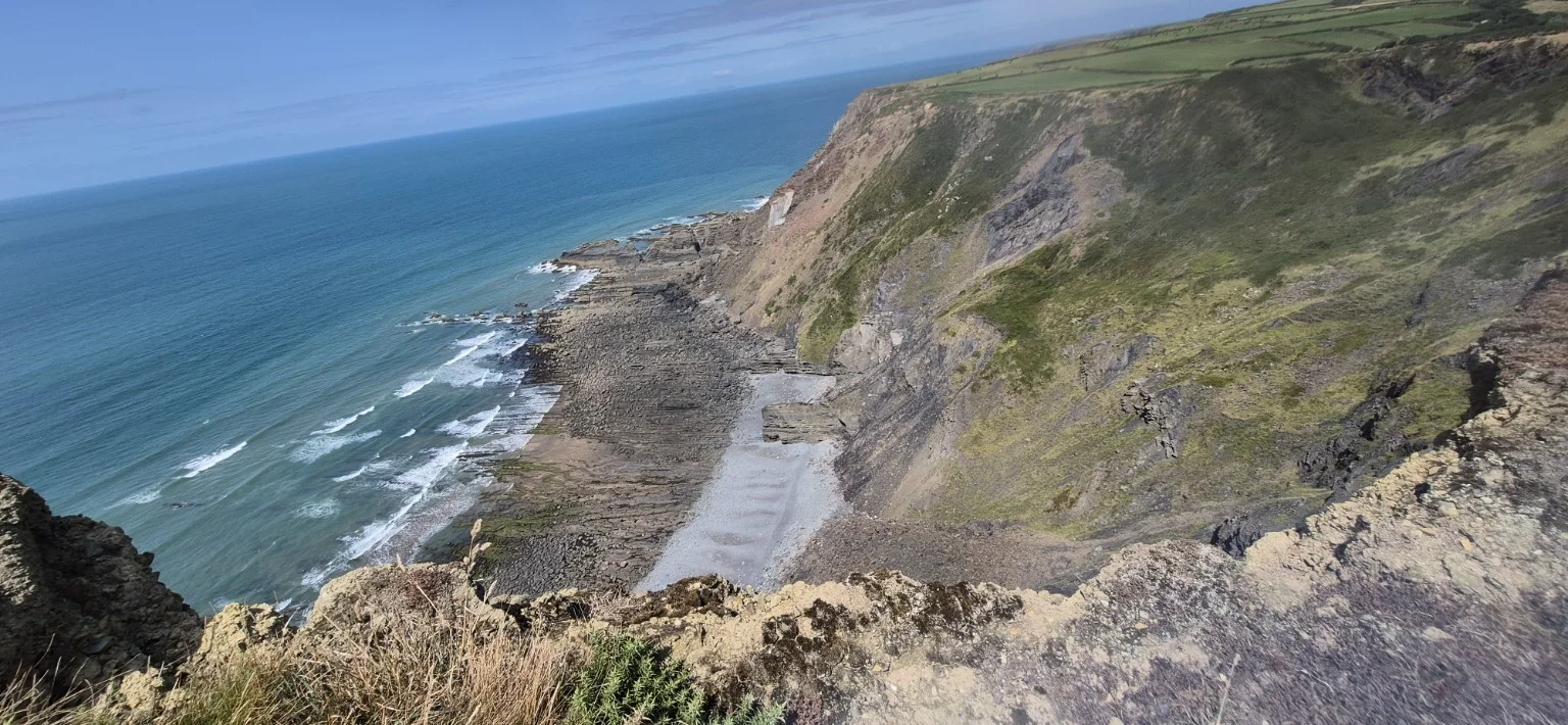
SW Coast Path · 2025
North Devon and North Cornwall · About 22 miles
Difficulty: Very hard
Nine hours along the coast, with steep valleys, rocky shores and a crossing into Cornwall.
Read the full report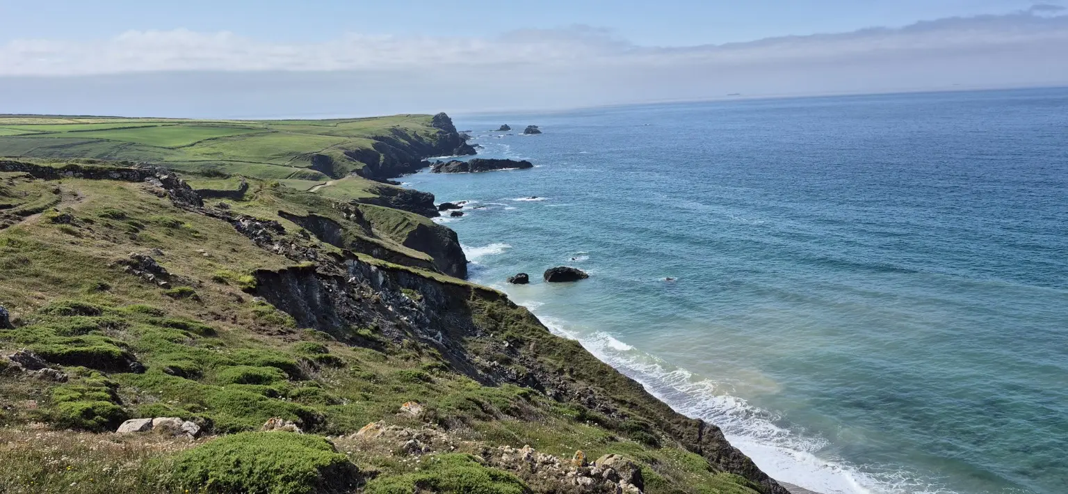
SW Coast Path · 2025
The Lizard, Cornwall · 11 miles
Difficulty: Moderate
Sunny coast paths, Cadgwith and jungle-like vegetation.
Read the full report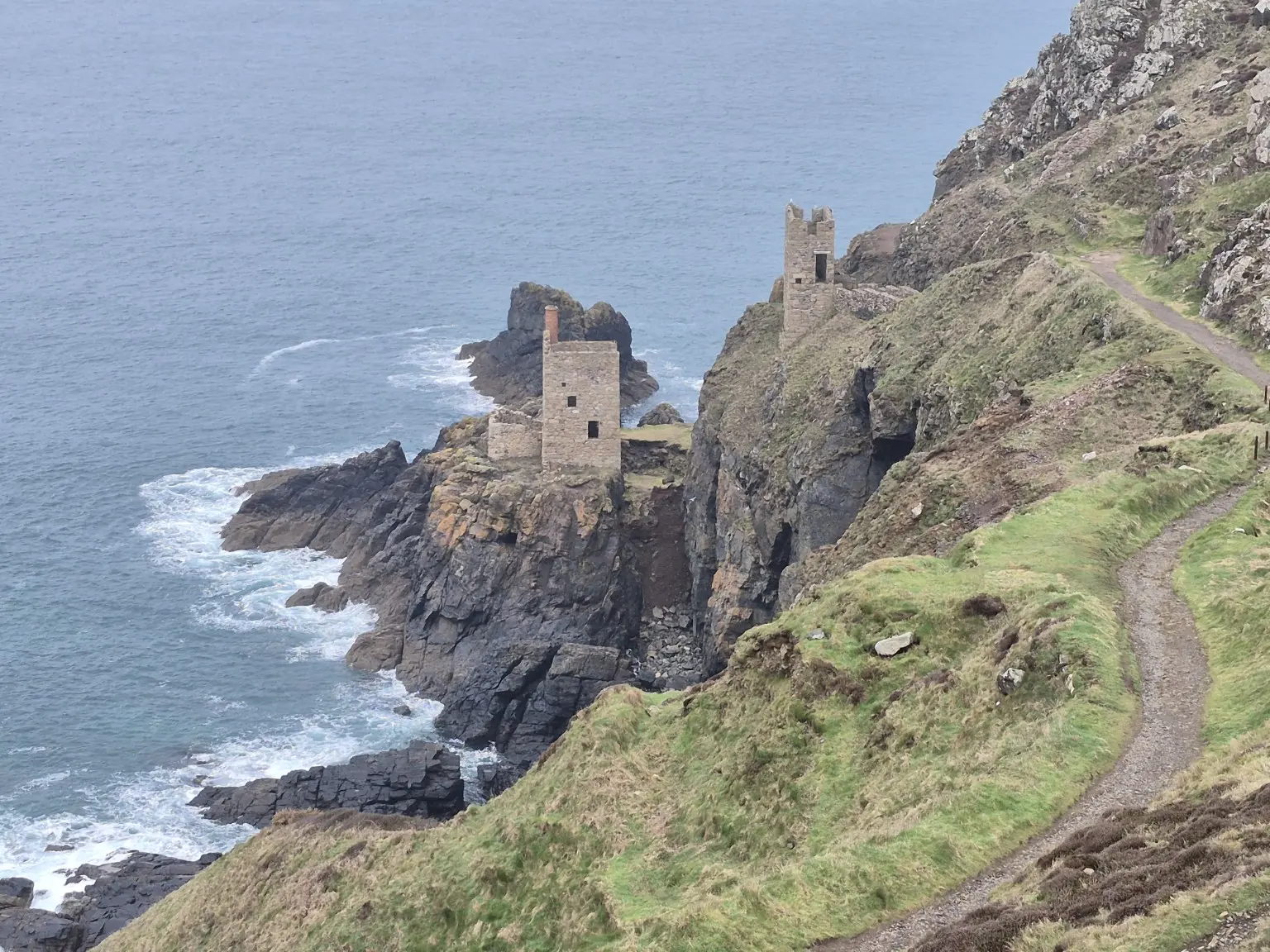
SW Coast Path · 2025
West Cornwall · Distance not recorded
Difficulty: Hard
Mining country, Cape Cornwall, Sennen Cove and Land’s End.
Read the full report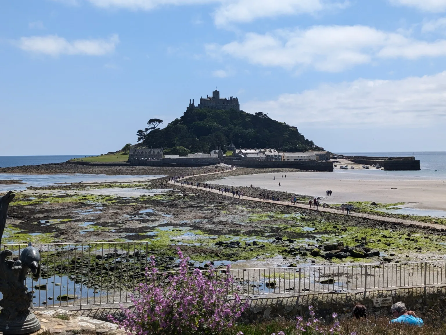
SW Coast Path · 2024
West Cornwall · Around 14 miles
Difficulty: Hard
Mining heritage, sea views and St Michael’s Mount on a six-and-a-half-hour walk.
Read the full report