North Cornwall · Friday 1 May 2026

Bedruthan
Sunset Hike

An eight-mile spring evening along the North Cornwall Coast Path to Porthcothan—with spectacular scenery and a sunset that nearly cooperated.

DistanceApproximately 8 miles
StartBedruthan, 4:30pm
FinishBedruthan, 8pm
ConditionsWarm, dry and sunny

Hike at a glance

Route & GPX

Distance
Approximately 8 miles
Time
4:30pm–8pm walking; stayed for sunset until around 9pm
Parking
National Trust car park.
Difficulty
Moderate — About eight miles on undulating coast and field paths, with several climbs and exposed clifftops.
Tea/Pub stop
Not recorded
Map planning
Open OS Maps

Estimated grades based on the full route in clear, dry conditions: Easy — mostly level, straightforward paths; Moderate — some climbs or uneven ground; Hard — sustained effort, steep or rough ground, or remote navigation; Very hard — exceptional distance or repeated steep climbs. Weather, mud, tides and visibility can make a walk much harder.

Details from this walk’s report. Times reflect this outing; check parking and access before travelling.

The full report

Golden light and stubborn cloud

A relaxed evening route combining coast path, field paths, a quiet beach stop and an optimistic wait for sunset.

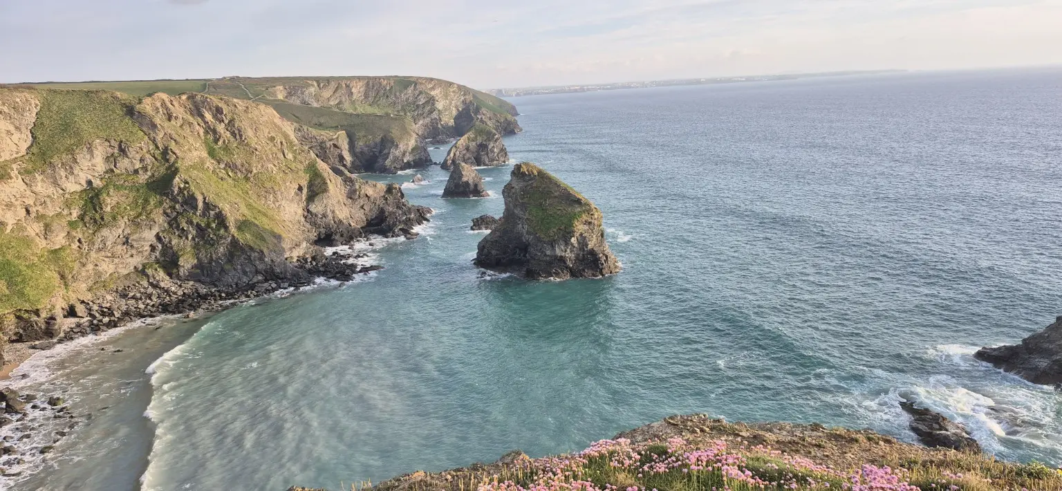
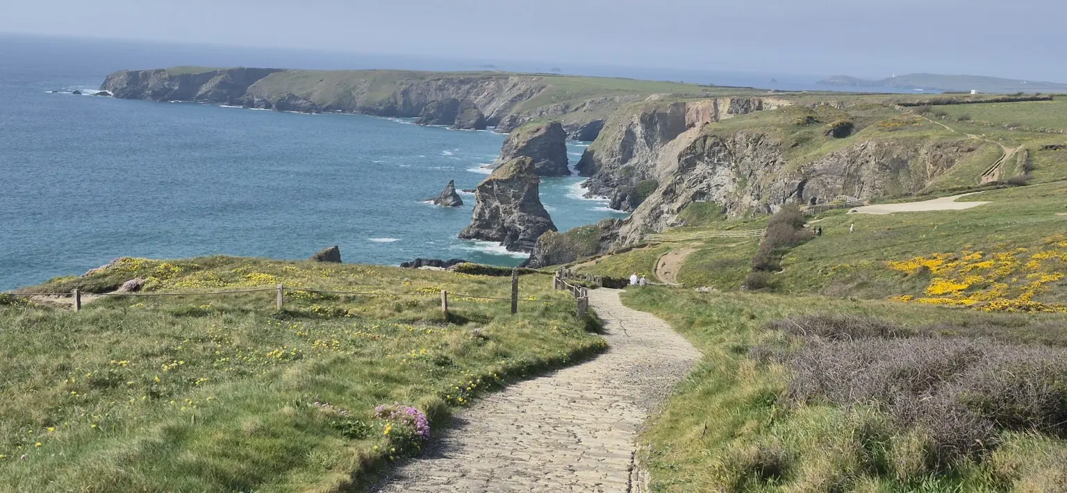
I set off at around 4:30pm from the National Trust car park at Bedruthan, following the South West Coast Path towards Pentire before turning inland and descending towards Porth Mear.

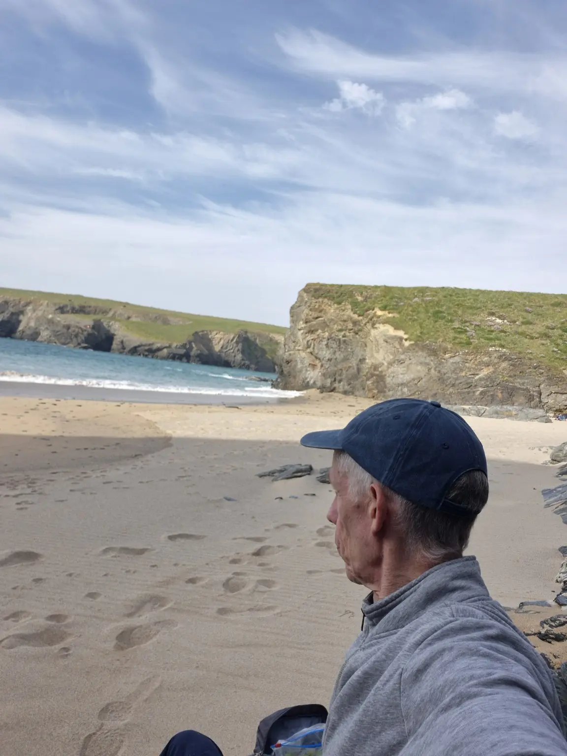
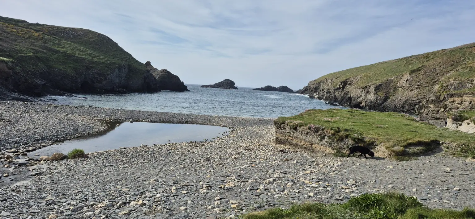
From there, I followed a scenic mixture of fields and footpaths towards Porthcothan—the sort of route that occasionally prompts the question, “Am I definitely going the right way?” I reached the beach at around 6pm.

Naturally, I found a quiet, secluded spot—prime real estate for a well-earned cup of tea and something to eat. With the waves crashing, the sea air doing its thing and the spring sunshine putting on a strong performance, it was one of those moments when everything felt just right…until I remembered that I still had to walk back.

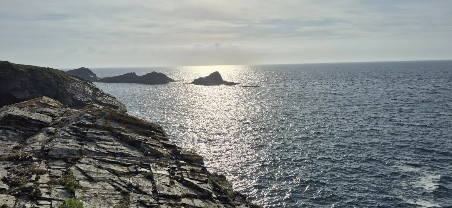
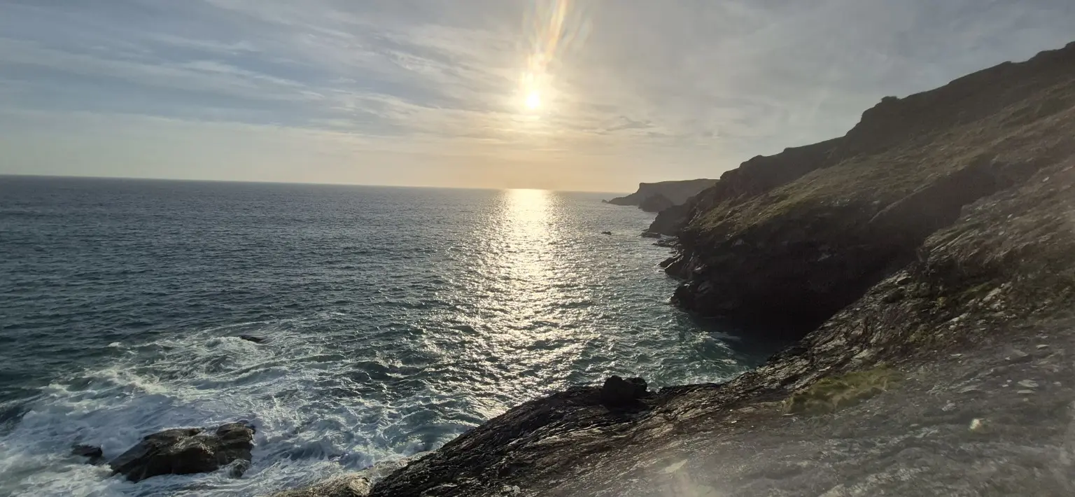
After about 20 minutes, I set off again for a slow, meandering return along the coast path, taking time to admire each headland and the spectacular scenery. This was entirely for appreciation purposes and certainly not an attempt to delay the uphill sections.

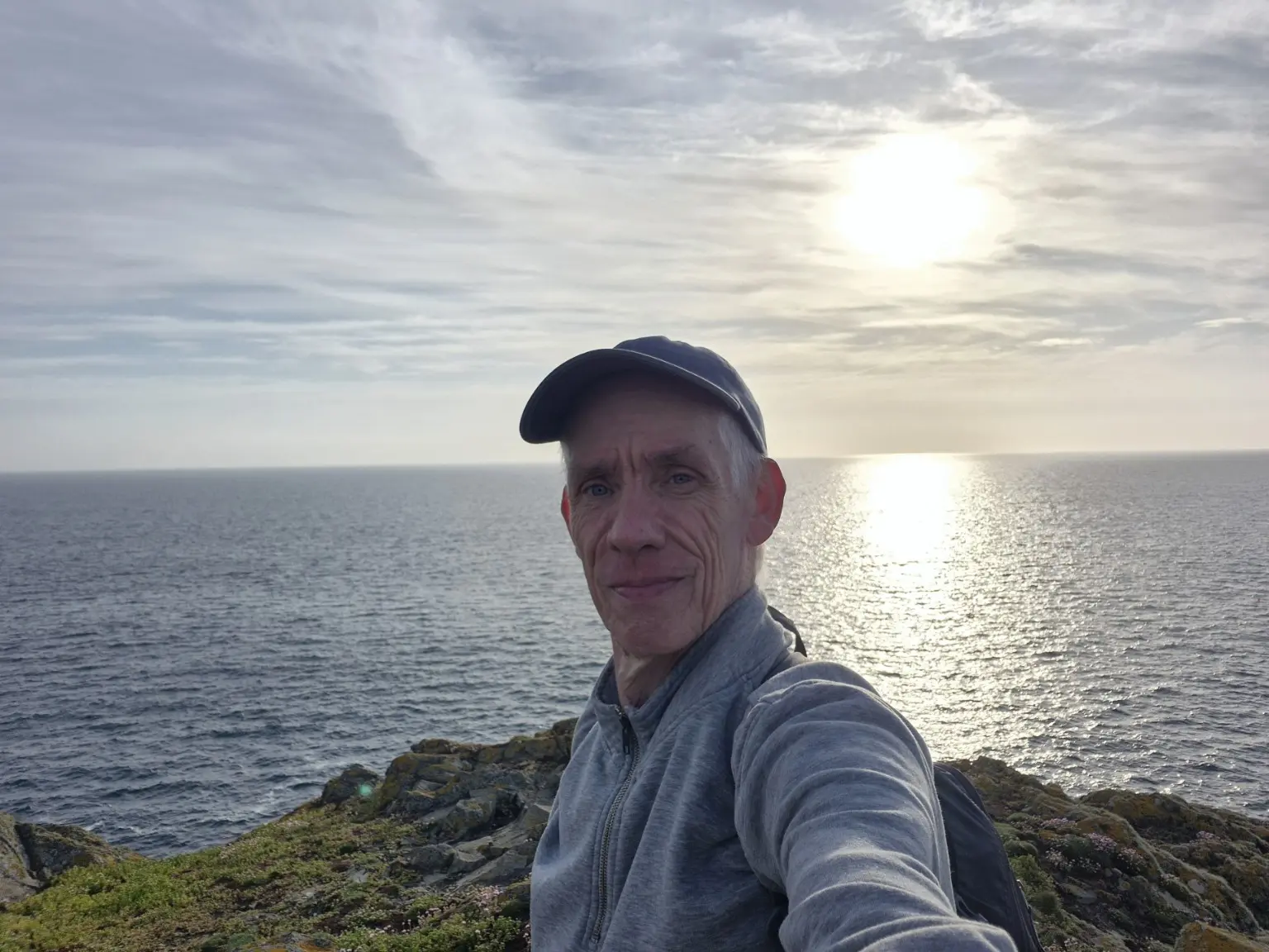
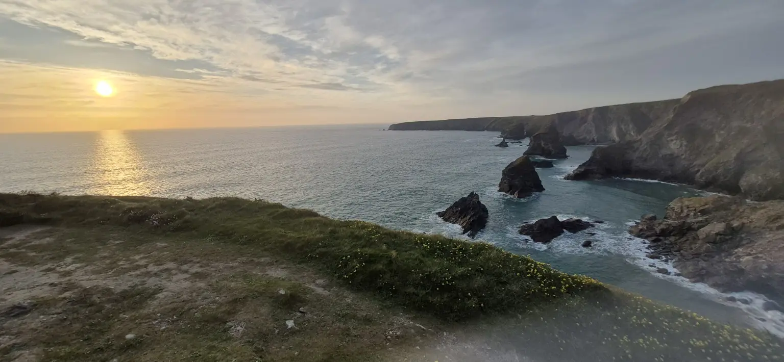
I reached Bedruthan at around 8pm, perfectly timed for the 8:40pm sunset. Unfortunately, a stubborn bank of cloud had reserved the best seat on the horizon.

I stayed until 9pm in the optimistic—some might say naïve—hope of a post-sunset light show. Apart from a few pink-tinged clouds, it never quite arrived. Even so, I captured several lovely photographs and enjoyed a beautiful evening on one of Cornwall’s finest stretches of coast.

All in all, it was a cracking eight-mile walk in dry, warm conditions, with sunshine, a gentle breeze and enough coastal drama to make the reluctant sunset almost irrelevant. Almost.
Plan the walk

Practical information

An evening circular route on exposed coast path and quieter inland footpaths.

Route

National Trust Bedruthan car park towards Pentire, then Porth Mear and Porthcothan, returning to Bedruthan along the coast.

Distance and time

Approximately 8 miles. Started at 4:30pm, returned by 8pm and stayed for sunset until around 9pm.

Terrain

Undulating coast path, field paths, several climbs and exposed cliff-top sections. Some paths can be muddy or slippery after rain.

Useful kit

Grippy footwear, warm layers for after sunset, waterproofs, food, water, a torch or headtorch and offline mapping.

Safety note

Keep well back from cliff edges, especially in strong winds or poor light. Check sunset time and allow enough daylight to complete the route safely.

Evening well spent

The sunset can try again next time

The cloud may have claimed the horizon, but eight miles of glorious North Cornwall scenery still made this a memorable spring evening.

Explore more Coast Path hikes

Location & getting there

Bedruthan, near Padstow, Cornwall

Parking & travel: National Trust car park.

Car park postcode: PL27 7UW · Official visitor information

Find Carnewas at Bedruthan National Trust car park on a map

This map locates the place named above; use the report’s route links to follow the walk.