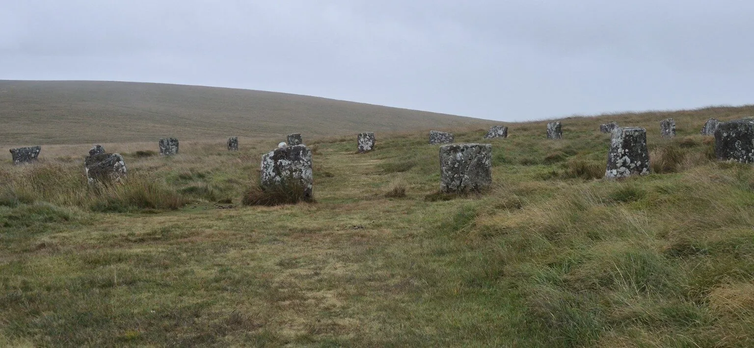
Prehistoric Dartmoor
Stone circles, stone rows, standing stones, hut circles and cairns.
This section brings together the prehistoric features encountered on my Dartmoor walks.
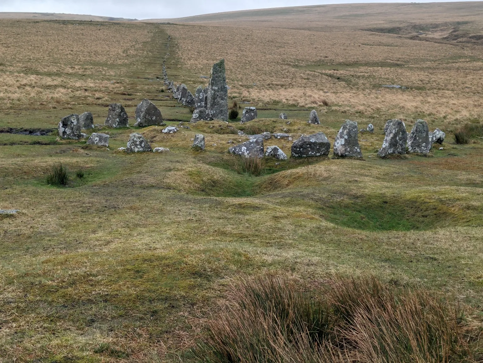
Down Tor Stone Row and Cairn Circle
Hingston Hill’s ancient stones, a walk from Norsworthy Bridge and a moment to wonder about the people who came before us.
Read my hike here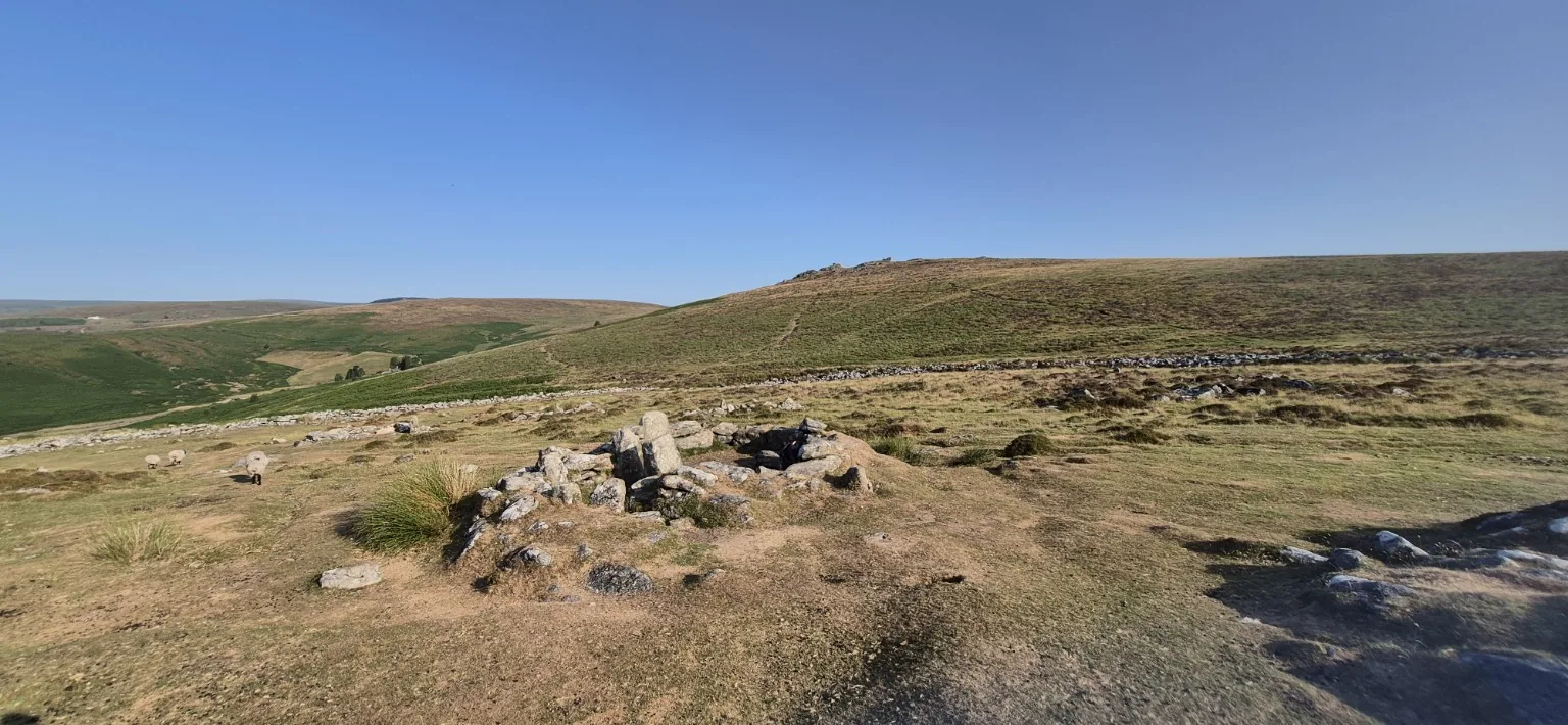
Grimspound: A Walk into Dartmoor’s Bronze Age Past
Explore the ancient settlement, discover what its granite walls reveal, and plan a visit with my practical hiking and parking tips.
Read the Grimspound blogStalldown Barrow Stone Row
A line of weathered granite stones stretches across Stalldown in southern Dartmoor, with particularly impressive pillars near its northern end. The row and nearby cairns offer a glimpse of the moor’s prehistoric ceremonial landscape.
| Detail | Information |
|---|---|
| Location | Stalldown, Cornwood parish, southern Dartmoor |
| Grid reference | SX 63240 62346 (Historic England monument reference point) |
| Era | Prehistoric, associated with the Late Neolithic and Bronze Age; exact construction date uncertain |
| Length | Approximately 500 metres, running roughly north–south |
| Stone height | Mostly 1–1.5 metres, with four exceeding 2 metres at the northern end |
| Nearby features | Associated cairns, including one with a surviving stone retaining kerb |
| Heritage status | Scheduled Monument, list entry 1015806 |
A place of ceremony
The association with burial cairns suggests a ceremonial or ritual role, although its precise purpose is unknown. Many stones were re-erected during earlier restoration, so their present positions may not exactly reproduce the original arrangement.
Historical details: Historic England — stone alignment and cairns on Stalldown.
Grey Wethers Stone Circles
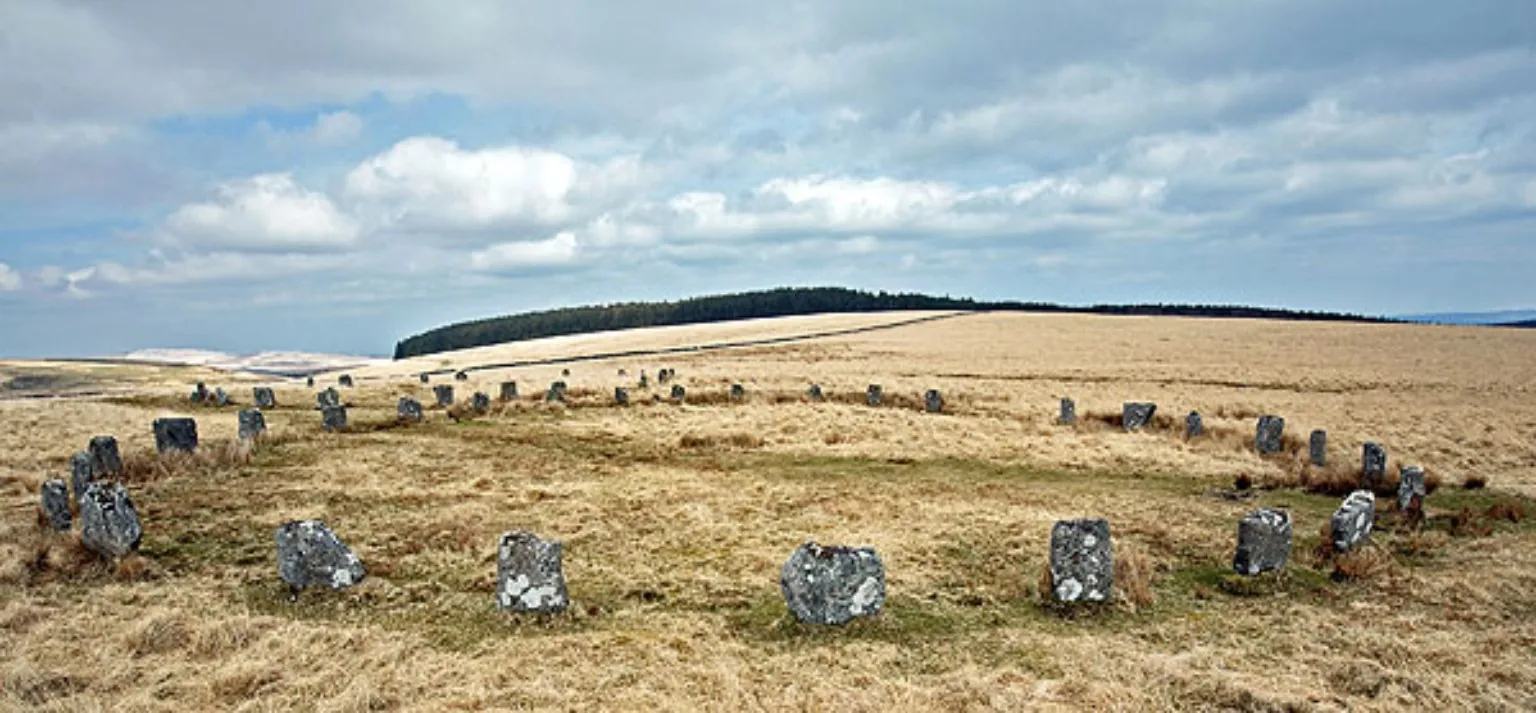
| Detail | Information |
|---|---|
| Location | Sittaford Moor, north of Postbridge, Central Dartmoor |
| Grid Reference | SX 63870 83138 |
| Coordinates | 50.6319° N, 3.9262° W |
| Era | Bronze Age — approx. 2500–1500 BCE |
| Diameter | Both approximately 33 metres |
| Stones | Northern circle: approximately 20 uprights Southern circle: approximately 29 uprights |
| Stone Height | Mostly 1.2–1.4 metres |
| Restored | Excavated 1898 · Re-erected 1909 |
My Bellever Forest to Fernworthy Reservoir circular visits these stone circles.
Merrivale Stone Rows & Standing Stone
Dartmoor | Grid Ref: SX554747
🕰️ When & Who
Built over centuries between 2500 BC and 1000 BC — from the late Neolithic deep into the Bronze Age. This wasn't the work of one tribe or one generation — it was a living, sacred landscape, added to and tended for 1,500+ years.
People lived here too — over 50 roundhouses once stood nearby, with families farming cattle and sheep, lighting hearths, and knapping flint tools right beside the stones. Then around 800–700 BC, things changed — land became over-farmed, forests cleared, the soil tired. People moved away, and the moor reclaimed its own.
🪨 The Stone Rows
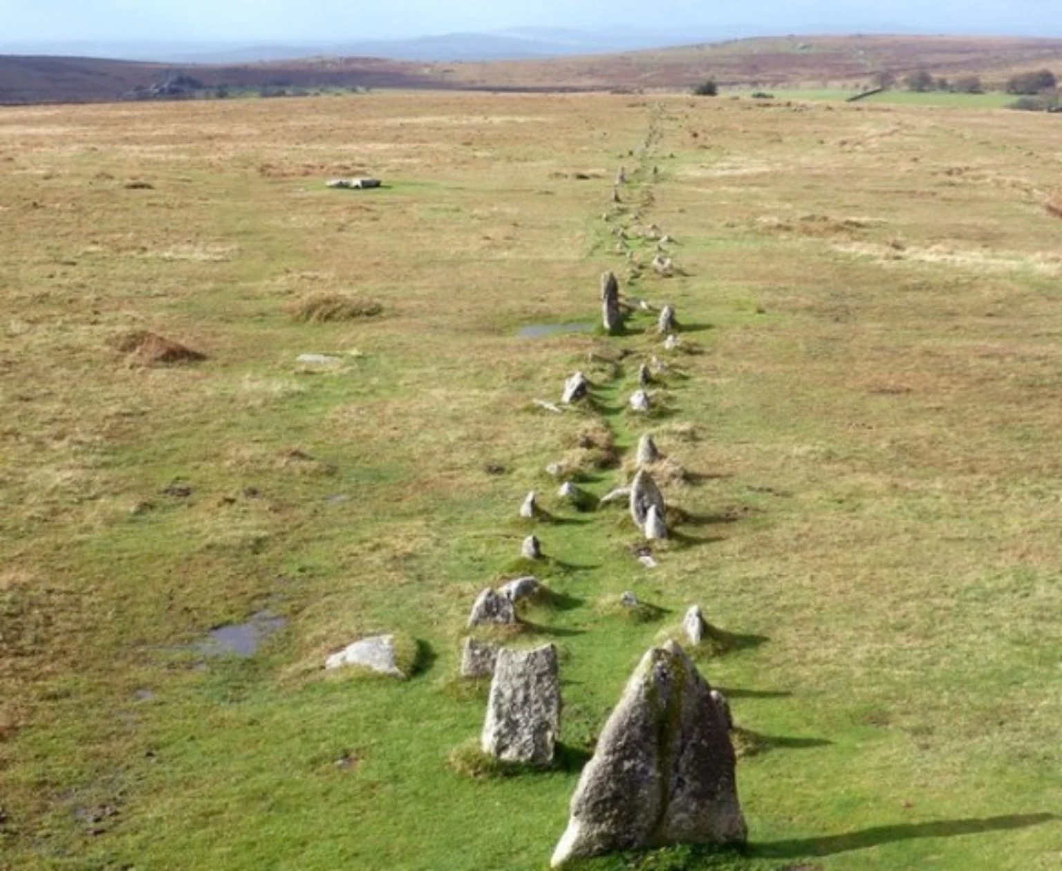
There are three rows here — two double, one single:
- North Double Row — 182m long, ~170 stones, runs almost perfectly east–west
- South Double Row — longer still at 264m, over 200 stones, ending at a large blocking stone
- Short Single Row — just 43m, striking off southwest toward the circle
Stones are mostly low — under 1m high — but that's how they were made. They're not grand monoliths for show; they're lines of power, processional ways, maps in stone. Some think they aligned with sunrise/sunset at key times — solstices, planting, harvesting.
⬆️ The Standing Stone (Menhir)
Near the stone circle stands the main pillar — ~3–3.8m (10–12ft) tall, granite, weathered by 3,000+ Dartmoor storms. It's not alone — a smaller stone once stood beside it, re-erected in 1895 but fell again. Between them: a burial barrow, so these stones watched over the dead as well as the living.
❓ What Was It All For?
The honest answer: we don't know for certain. But we can piece it together:
- ✅ Ceremonial processions walking the rows toward the circle
- ✅ Burials & ancestor rites — cairns and kistvaens mark the route
- ✅ Timekeeping — alignments with sun, moon, stars
- ✅ Territory — a sacred landmark visible across the moor
⚠️ Later Years & Loss
The site survived mostly intact until the 1800s. In 1860, the capstone from a burial cist was split and carted off to be a gatepost. Other stones were taken for walls and field drains. Victorians began “restoring” some in the 1890s — work that was well-meaning but uneven. Today it's protected and cared for, but every stone still bears the marks of time.
🚶 John's Take
Merrivale isn't the biggest or most famous site on Dartmoor — but it's one of the most human. You can walk where families lived 4,000 years ago, trace lines they laid by hand, and stand beside a pillar they raised to the sky. The wind, the rain, the wide-open moor — it's all exactly as they would have known it.
Practical bits
- 🚗 Park: Four Winds Car Park (B3357), near Merrivale
- 📍 Grid: SX554747
- 🥾 Easy walk from road — good paths, open moor
- ☔ Waterproofs essential — same weather they dealt with!
For a walk in the surrounding area, my Merrivale Six-Mile Circular explores the tors and Windy Post from Pork Hill. This report does not include a visit to the stone rows.
Dartmoor Through the Ages
Medieval villages, abandoned farms, old mines, quarries, clapper bridges and wayside crosses.
A home for the other historic places and stories discovered along the way.
Vixen Tor — A Private Tor
A dramatic granite landmark, a long-running access dispute and the legend of the witch Vixana.
Private land: public access and climbing are not permitted. View from public land only.
Read about Vixen Tor