Dartmoor · 2026
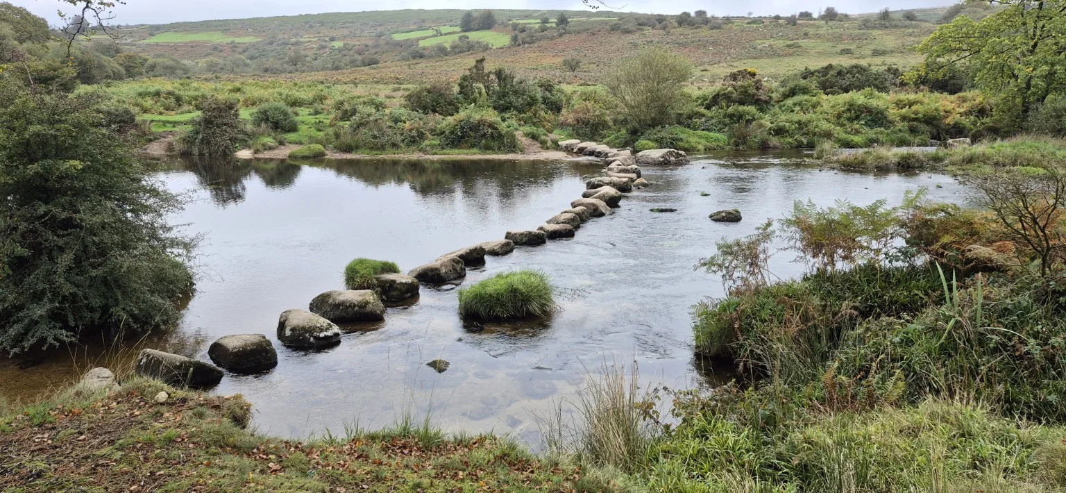
Stepping Stones via Hexworthy
Central Dartmoor · 8.50 miles
Mist, sunshine, four stepping-stone crossings and one very easy decision involving a pub. A Dartmoor circular with Age from Dunnabridge.
Read the full reportChoose your next read
Explore Dartmoor walks and South West Coast Path hikes through my first-hand reports, with photographs and practical notes from days out across Devon and Cornwall.
My Dartmoor walks range from tor-filled circular routes around Merrivale and Burrator to forest trails, river crossings and longer days on the open moor. Read about the terrain, conditions and memorable moments, with parking details and route links where available.
For sea views, explore my South West Coast Path walks in Devon and Cornwall, from sheltered coves to demanding cliff-top stretches. Use the filters below to find a report by place, year or distance, or browse my long-distance hiking challenges. These are accounts of my own outings to help you plan your next adventure.
12 hikes found
Dartmoor · 2026
Central Dartmoor · 8.50 miles
Mist, sunshine, four stepping-stone crossings and one very easy decision involving a pub. A Dartmoor circular with Age from Dunnabridge.
Read the full report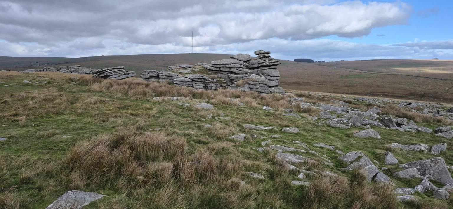
Dartmoor · 2026
South-west Dartmoor · 7.87 miles
Difficulty: Moderate
A windswept 7.87-mile afternoon via Leeden Tor, Ingra Tor, Swelltor Quarry and King’s Tor, with Sharpitor saved for last.
Read the full report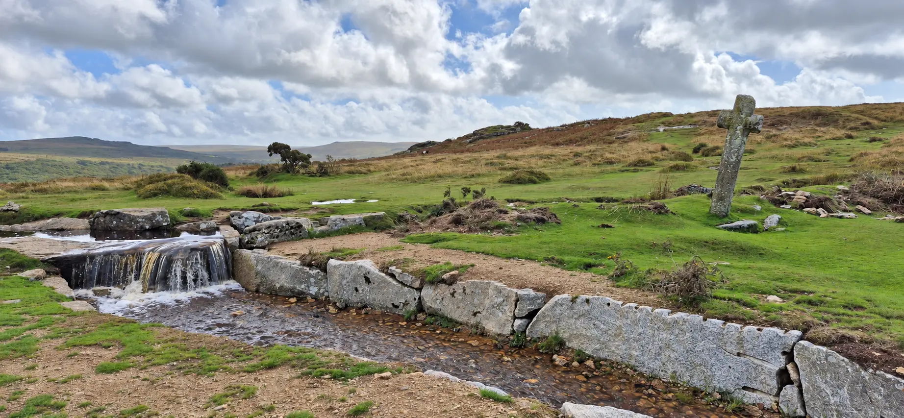
Dartmoor · 2026
West Dartmoor · 5.96 miles
Difficulty: Moderate
Five tors, Windy Post and a windswept 5.96-mile circular with Age, rounded off with ice cream and a well-earned pint.
Read the full report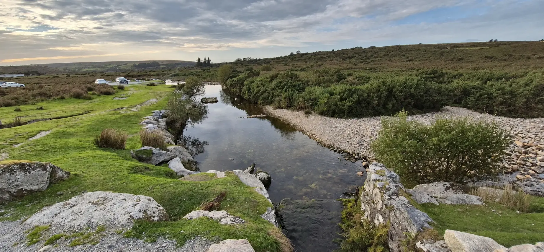
Dartmoor · 2026
South-west Dartmoor · 6.33 miles
Difficulty: Moderate
A 6.33-mile afternoon on Dartmoor, with a hidden waterfall, scattered tors and a battle through the gorse.
Read the full report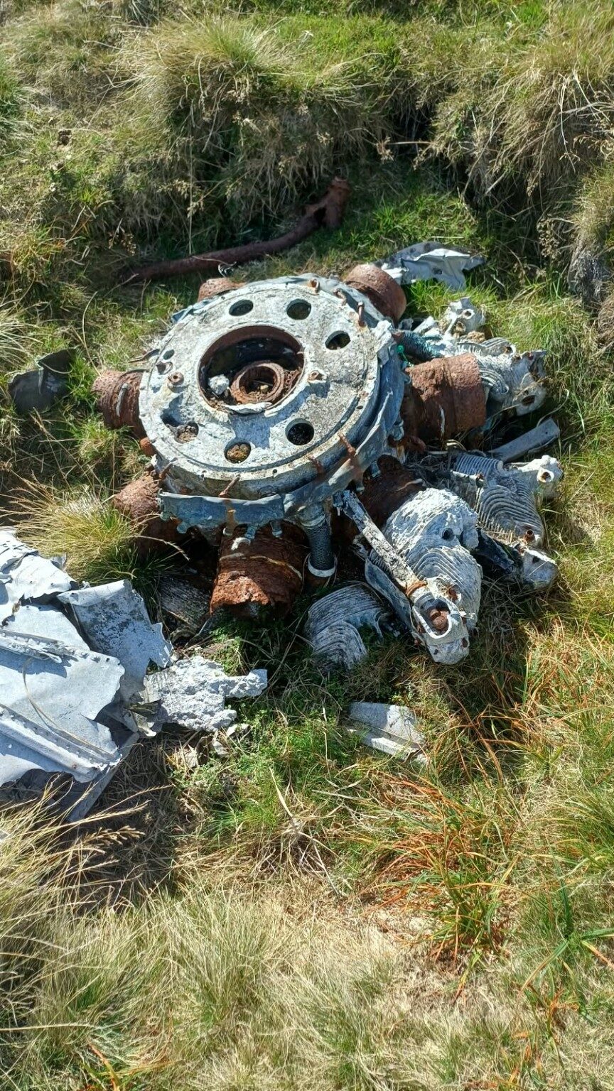
Dartmoor · 2026
West Dartmoor · 11.18 miles
Difficulty: Hard
A search for Second World War wreckage and the Kitty Tor memorial.
Read the full report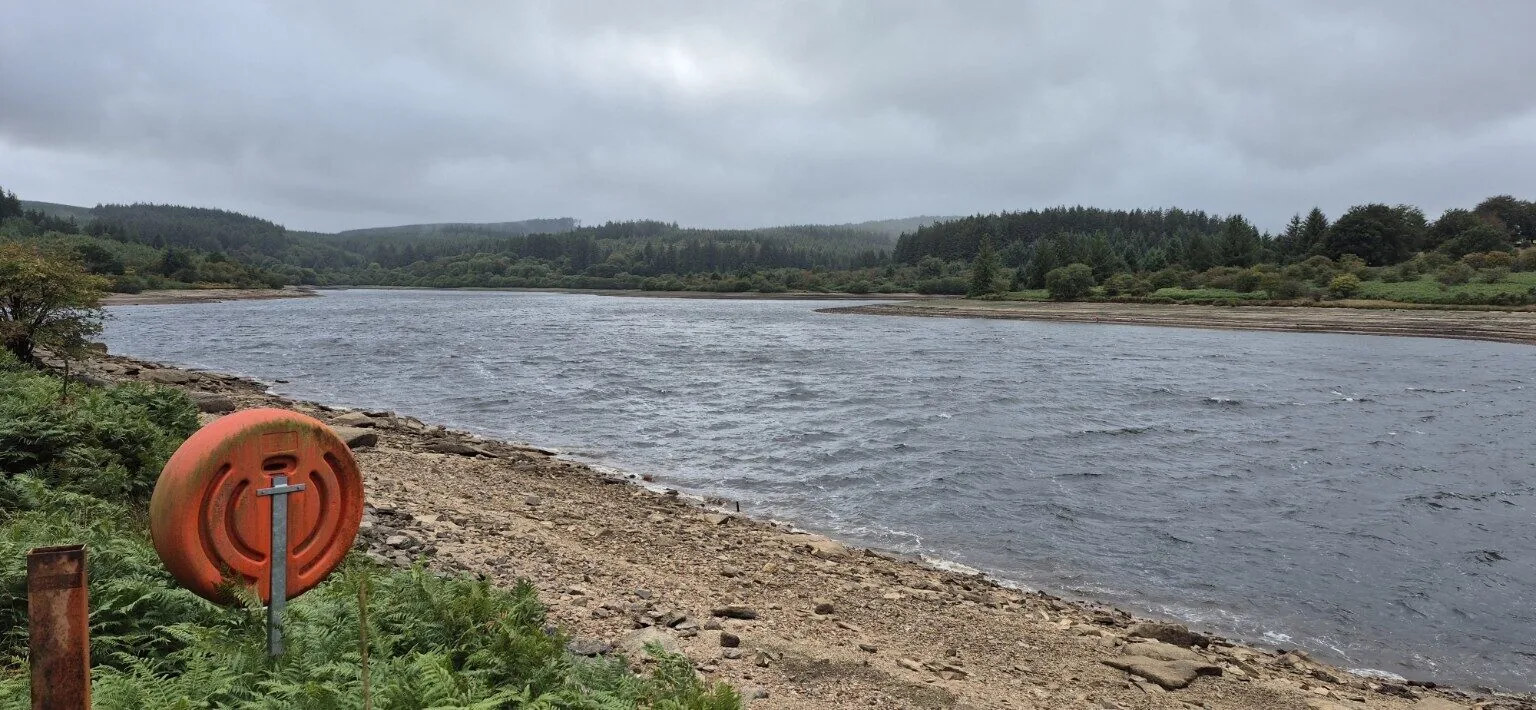
Dartmoor · 2026
Central Dartmoor · 13 miles
Difficulty: Hard
Woodland, waterfalls, stone circles and fierce Dartmoor weather.
Read the full report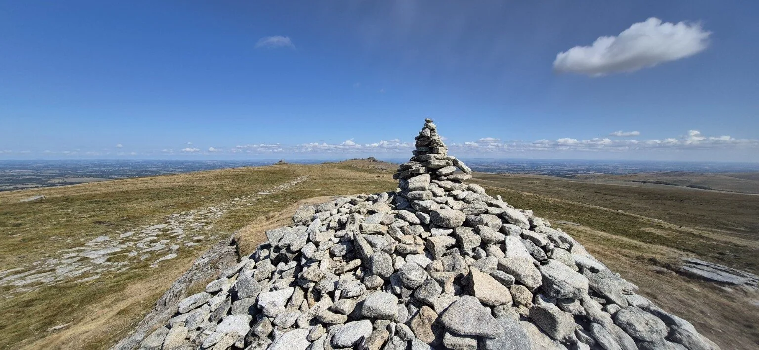
Dartmoor · 2026
North Dartmoor · 12.5 miles
Difficulty: Hard
Rivers, valleys and relentless hills to Dartmoor’s highest point.
Read the full report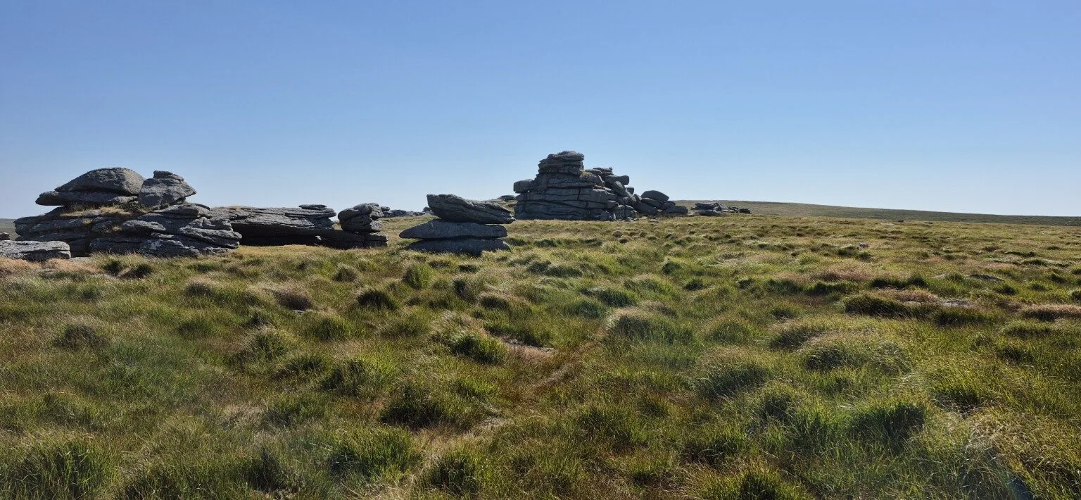
Dartmoor · 2026
North Dartmoor · 9 miles
Difficulty: Hard
A tough journey to Dartmoor’s most remote tor in summer heat.
Read the full report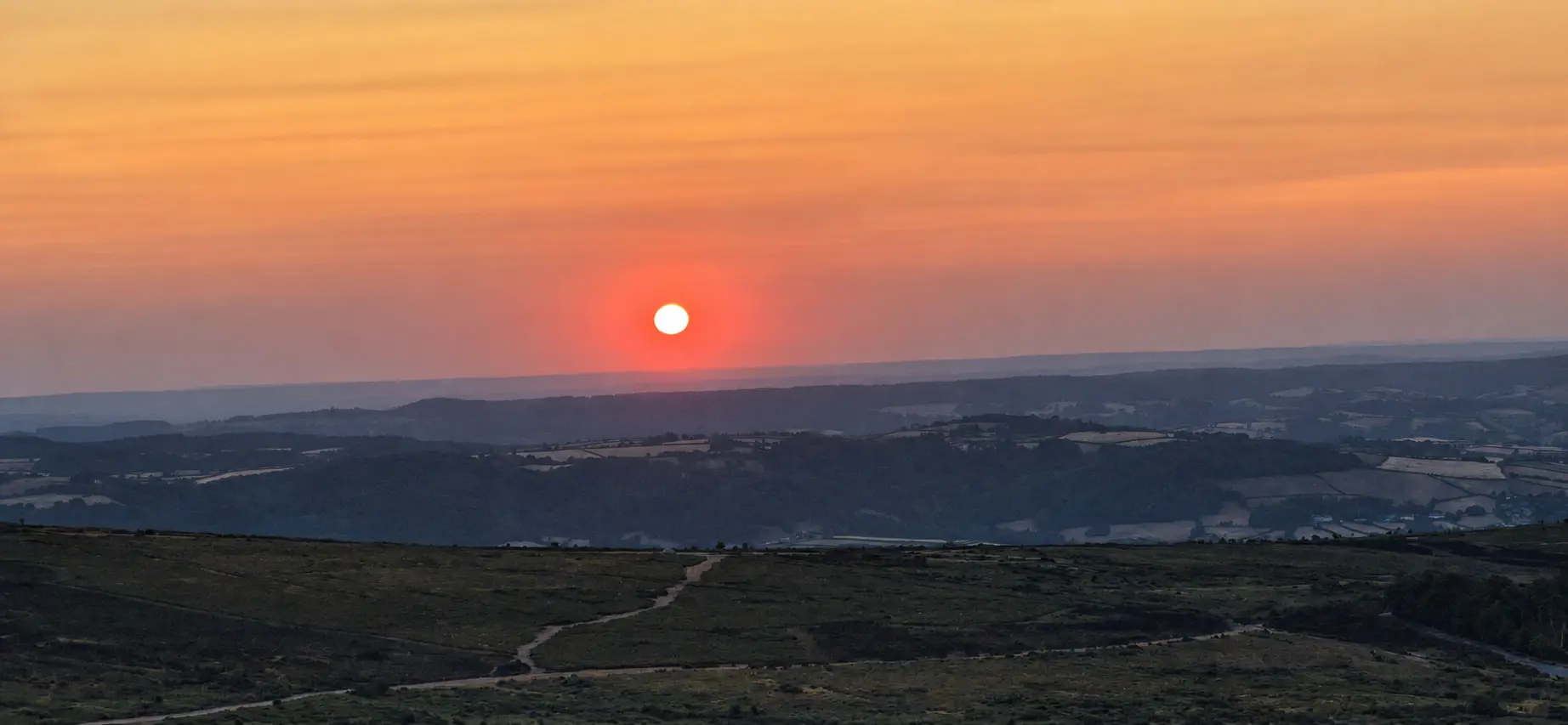
Dartmoor · 2026
East Dartmoor · Almost 12 miles
Difficulty: Hard
An early start, quiet tors, ancient settlements and one unavoidable bog.
Read the full report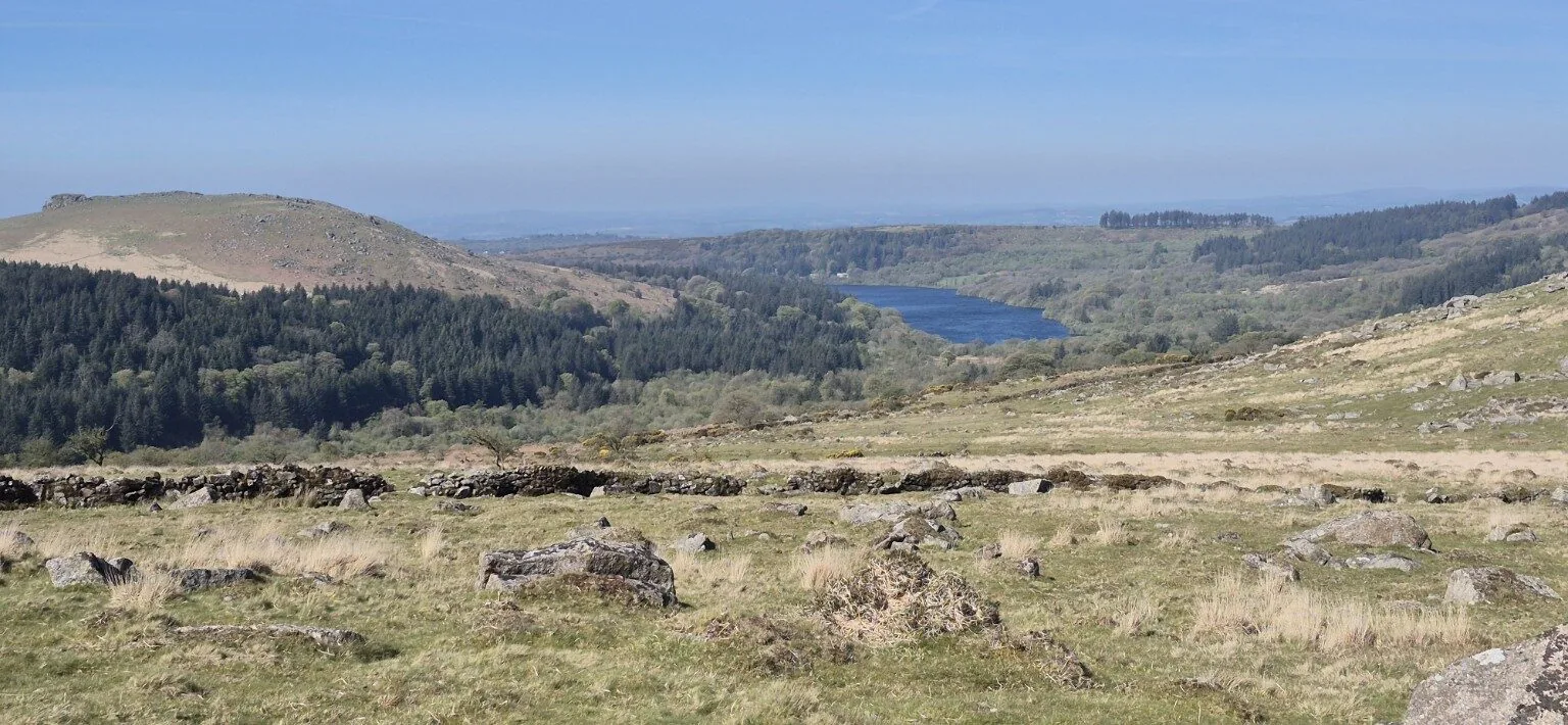
Dartmoor · 2026
Burrator · 10 miles
Difficulty: Hard
Stone rows, woodland and five granite tors with Age and Barry.
Read the full report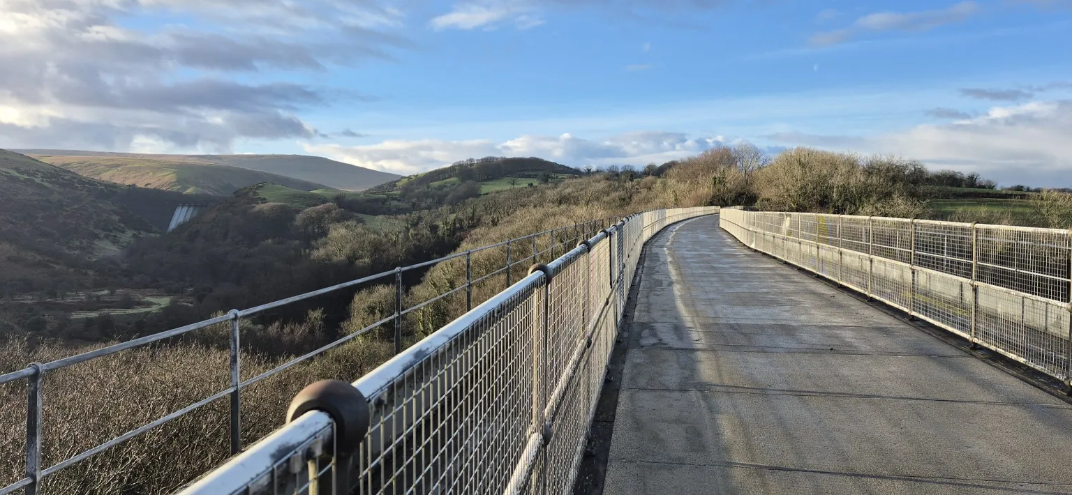
Dartmoor · 2026
North Dartmoor · About 12 miles
Difficulty: Hard
Meldon Viaduct, railway history, frozen ground and a boggy crossing of the high moor.
Read the full report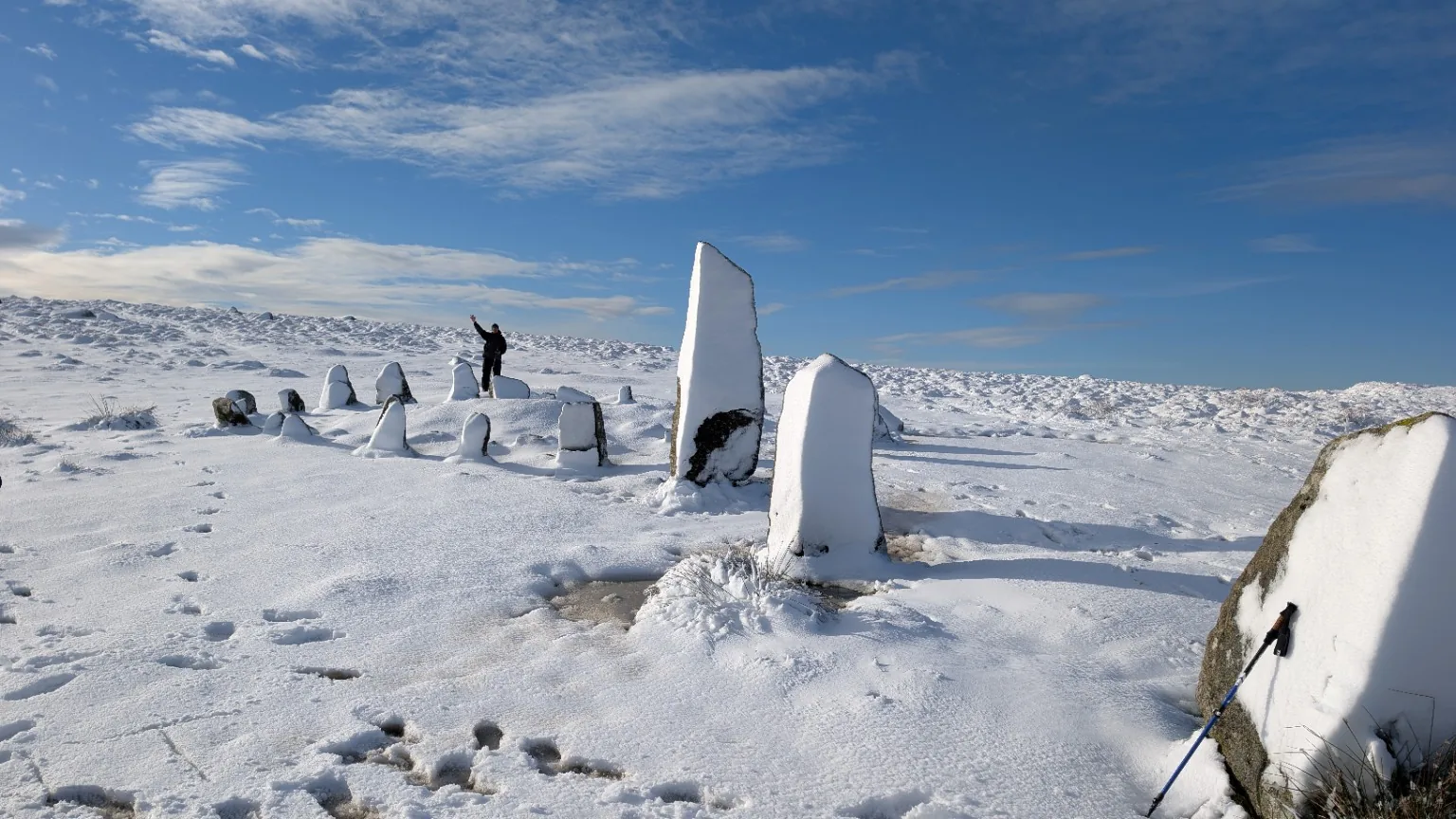
Dartmoor · 2024
Burrator · 3.5–4 miles
Difficulty: Moderate
Near-whiteout snow followed by glorious sunshine with Age and Barry.
Read the full report