Start and route
Lane End Car Park via Ger Tor, Brat Tor, several river crossings, Fur Tor and Tavy Cleave.
Nine demanding miles to Dartmoor’s most remote tor—through tussocks, river crossings, gorse and temperatures approaching 29°C.
Estimated grades based on the full route in clear, dry conditions: Easy — mostly level, straightforward paths; Moderate — some climbs or uneven ground; Hard — sustained effort, steep or rough ground, or remote navigation; Very hard — exceptional distance or repeated steep climbs. Weather, mud, tides and visibility can make a walk much harder.
Details from this walk’s report. Times reflect this outing; check parking and access before travelling.
I set off from Lane End Car Park at 7:35am, with the temperature already giving a fairly strong indication that this was going to be a sweaty one.
The route began with a steep ascent towards Ger Tor—plenty of huffing, puffing and wondering why I had not taken up a relaxing hobby such as stamp collecting. After a brief stop to admire the landscape, I continued to Brat Tor for another steep climb and a very welcome breather at the summit.
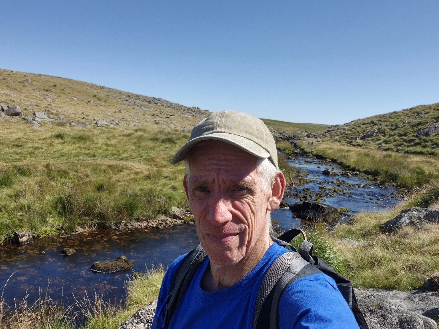
Following the trail into the valley brought the first river crossing. Weeks without meaningful rain had left the rivers extremely low, making the crossings relatively straightforward. Beyond them, tussocks, long grass and dried-out bogs slowed progress considerably.
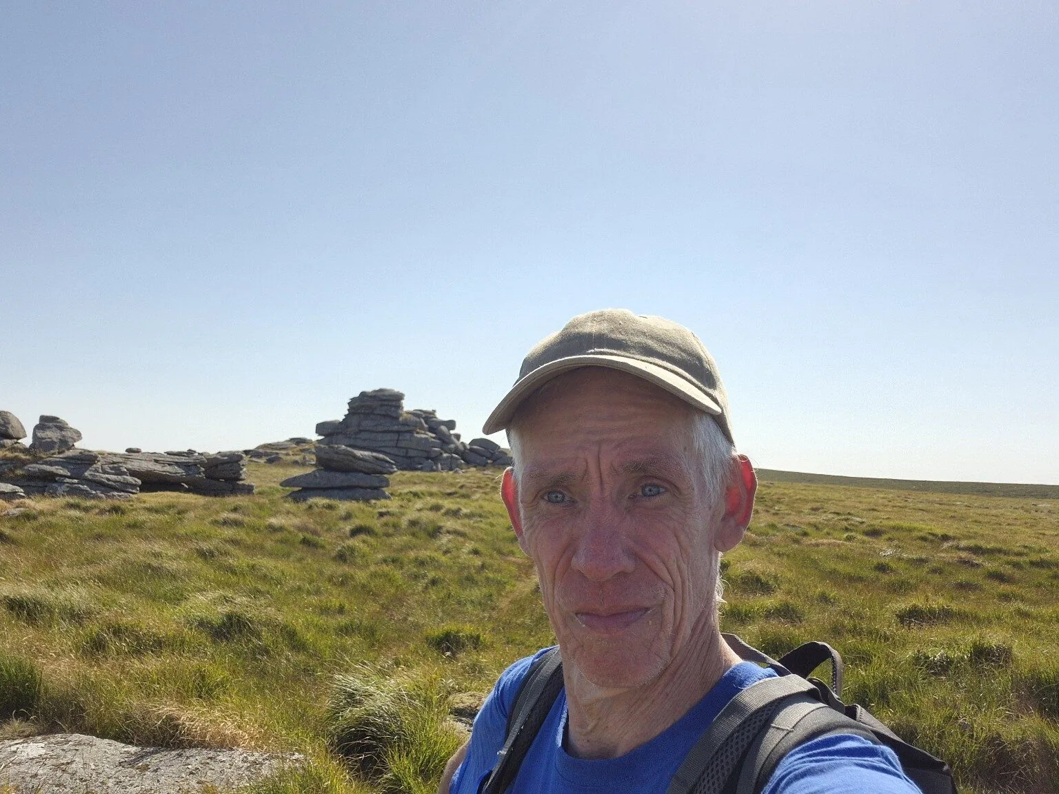
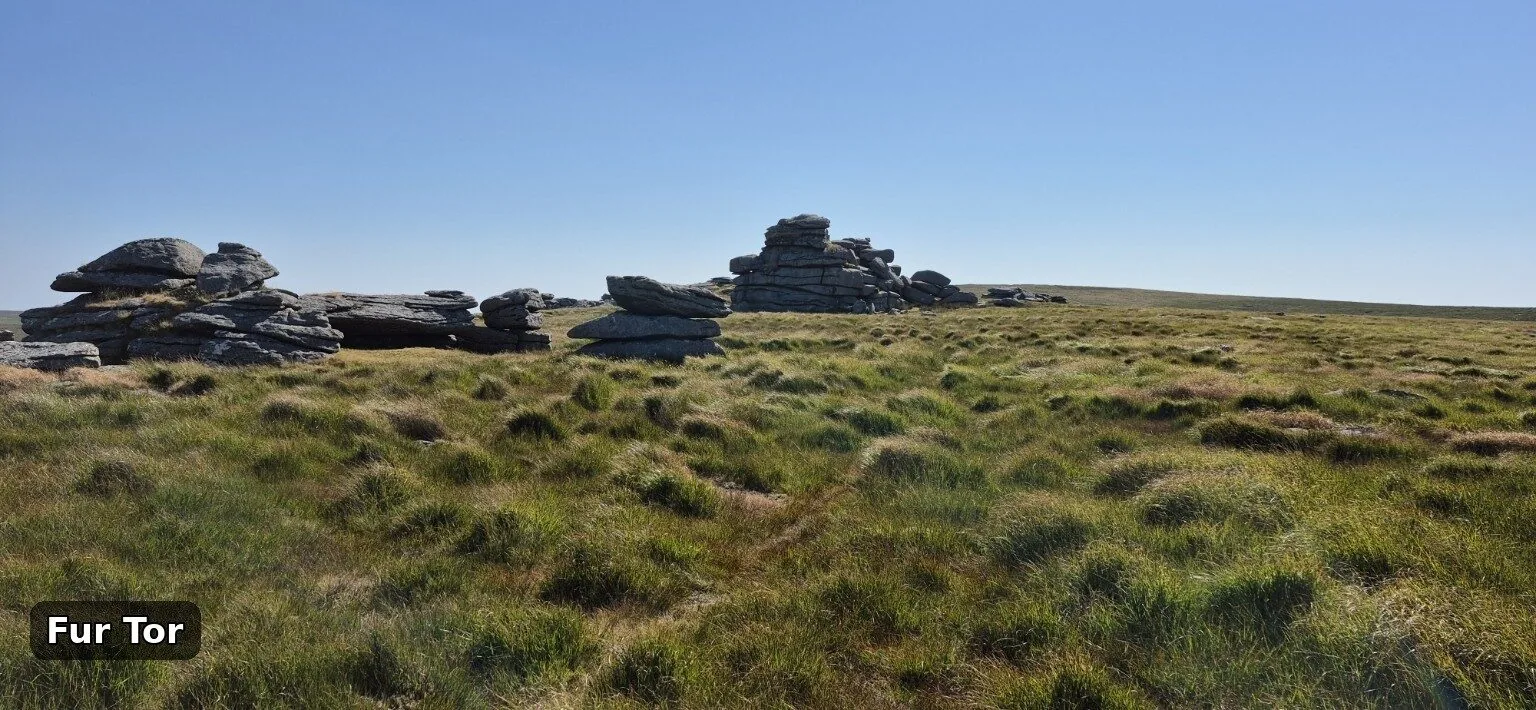
More rocks, more steep ground and considerably more sweating eventually brought me to the summit. A young man was wild camping on Dartmoor for the next couple of days, so I stopped for around 45 minutes for brunch and a chat. As it was his first visit, I suggested a few places to explore and offered some unsolicited advice from someone who has spent rather a lot of time getting lost on these moors.
I left Fur Tor at around 10:40am for the tough return. At least three river crossings, rock scrambling, rough ground and a great deal of gorse made the next mile feel more like an assault course—especially in temperatures of 28–29°C with virtually no wind.
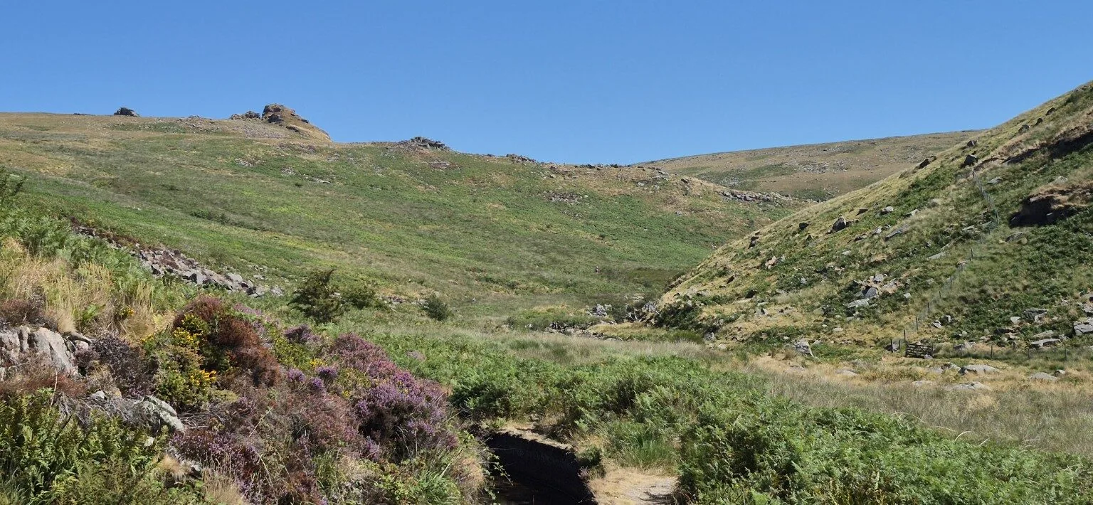
The ground eventually eased as I made my way through spectacular Tavy Cleave, reaching the car at around 1pm. Fur Tor is never easy, even by the shortest route, but what a place: remote, rugged, beautiful and worth every drop of sweat, every scratch and every moment spent questioning my life choices.
This is a serious, remote Dartmoor outing even in good weather.
Lane End Car Park via Ger Tor, Brat Tor, several river crossings, Fur Tor and Tavy Cleave.
Steep climbs, tussocks, long grass, dried bog, loose rock, scrambling, gorse and rough riverside ground.
Hard. Fur Tor is isolated and paths can be faint or absent. Carry an OS map and compass as well as offline digital mapping.
Carry considerably more water than usual in hot weather, plus food and emergency supplies. Do not rely on untreated river water.
Supportive boots, sun hat, sun cream, layers, waterproofs, first-aid kit, charged phone, power bank and emergency shelter.
River crossings can become dangerous after rain. Check the forecast, water levels and military firing notices; turn back if conditions deteriorate.
Tap any photograph to view it full-screen and swipe through the journey.
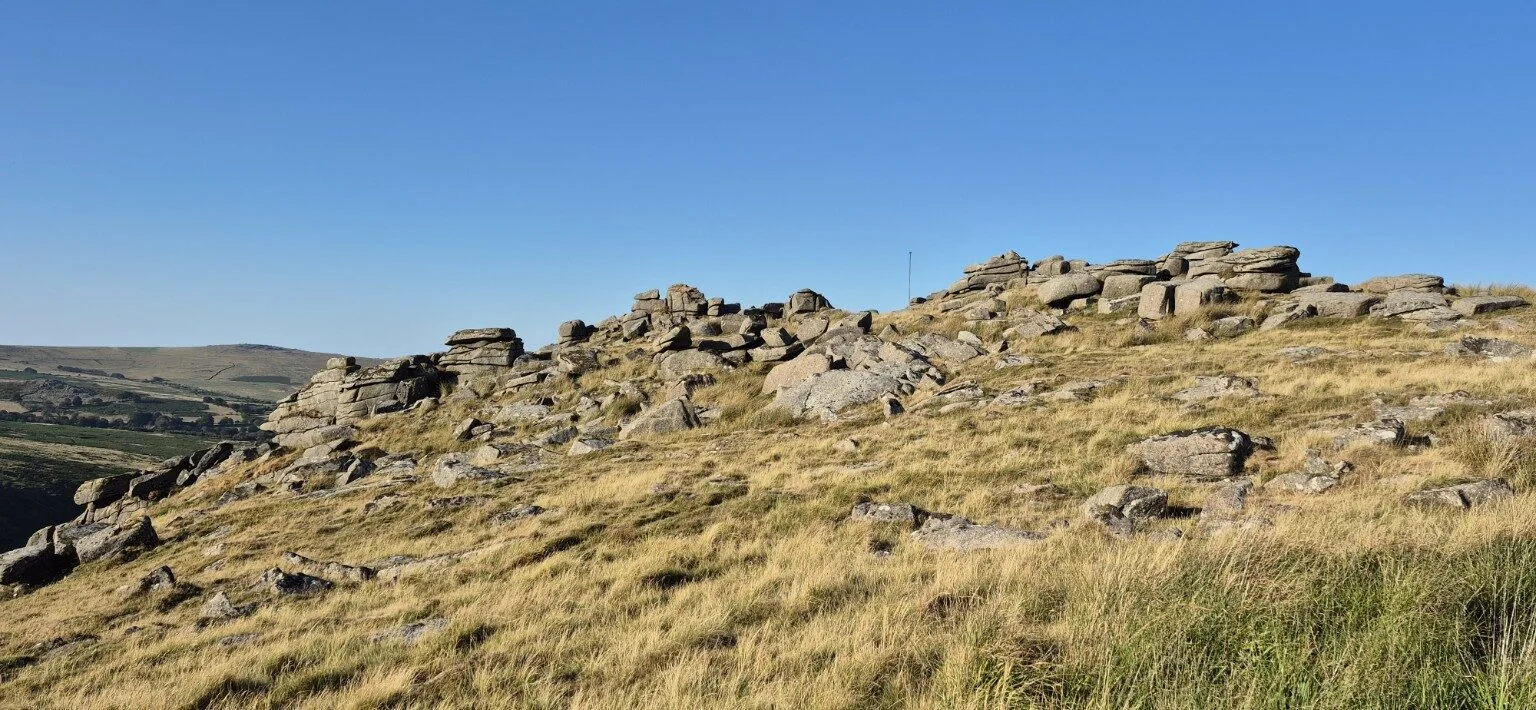

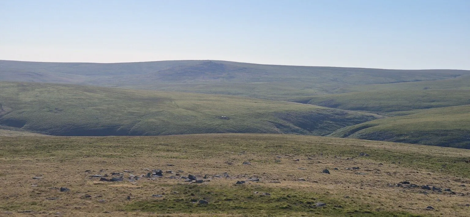
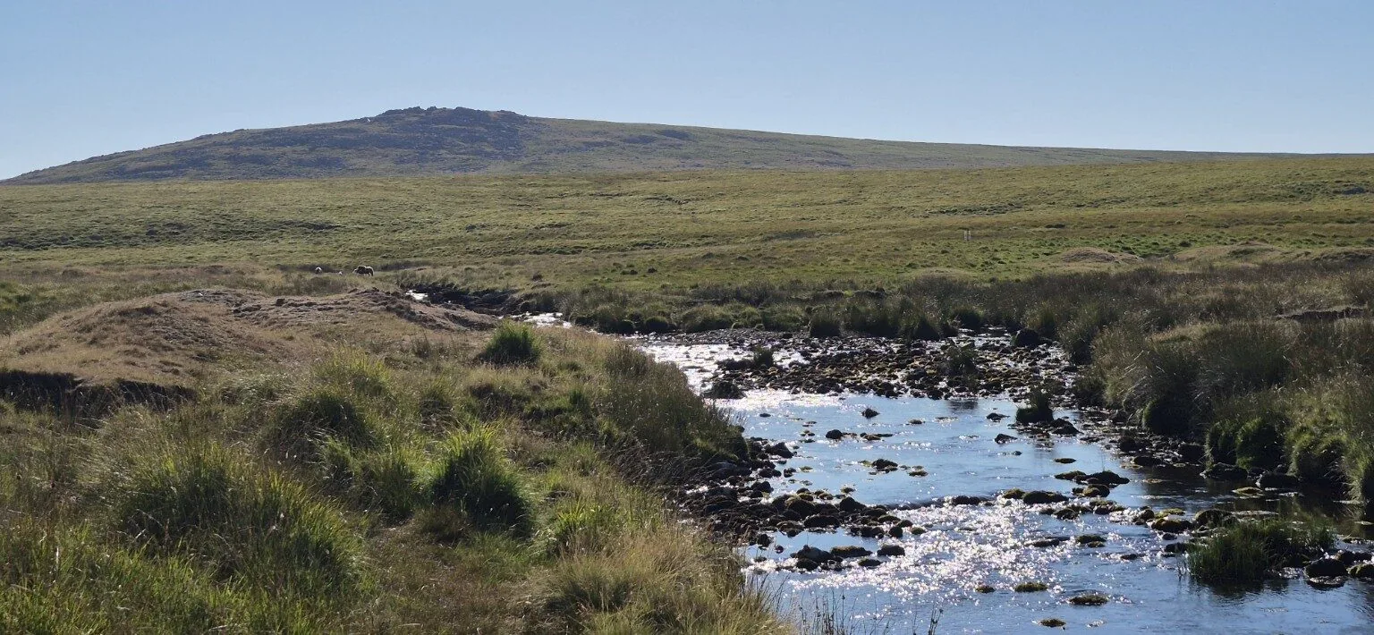
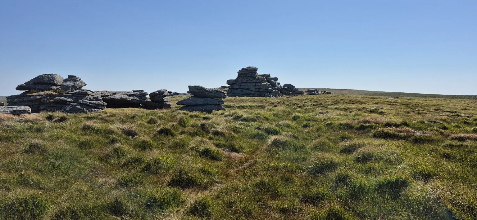
A demanding route in extreme heat—but Fur Tor and Tavy Cleave made every difficult mile worthwhile.
Explore more Dartmoor hikesLane End to Fur Tor, Dartmoor, Devon
Parking & travel: Lane End Car Park
Find Lane End car park, Willsworthy on a map
This map locates the place named above; use the report’s route links to follow the walk.