Cadover Bridge to Shavercombe Waterfall
A 6.33-mile afternoon on Dartmoor, with a hidden waterfall, scattered tors and a battle through the gorse.
Hike at a glance
Route & GPX
- Distance
- 6.33 miles
- Time
- 2 hours 45 minutes
- Parking
- Plenty of free parking at Cadover Bridge.
Open what3words: ///crabmeat.tries.spectacle - Difficulty
- Moderate — Rough moorland, faint paths, gorse and rocky ground over 6.33 miles.
- Tea/Pub stop
- Not recorded
- Map planning
- Open OS Maps
Recommended pubs
- Skylark Inn, Clearbrook
Estimated grades based on the full route in clear, dry conditions: Easy — mostly level, straightforward paths; Moderate — some climbs or uneven ground; Hard — sustained effort, steep or rough ground, or remote navigation; Very hard — exceptional distance or repeated steep climbs. Weather, mud, tides and visibility can make a walk much harder.
Details from this walk’s report. Times reflect this outing; check parking and access before travelling.
Waterfalls, tors and uncooperative gorse
Despite a 3.30am alarm for work, I somehow still found the energy for a late-afternoon hike on Dartmoor. Clearly, the sensible option of putting my feet up had failed to make the shortlist.
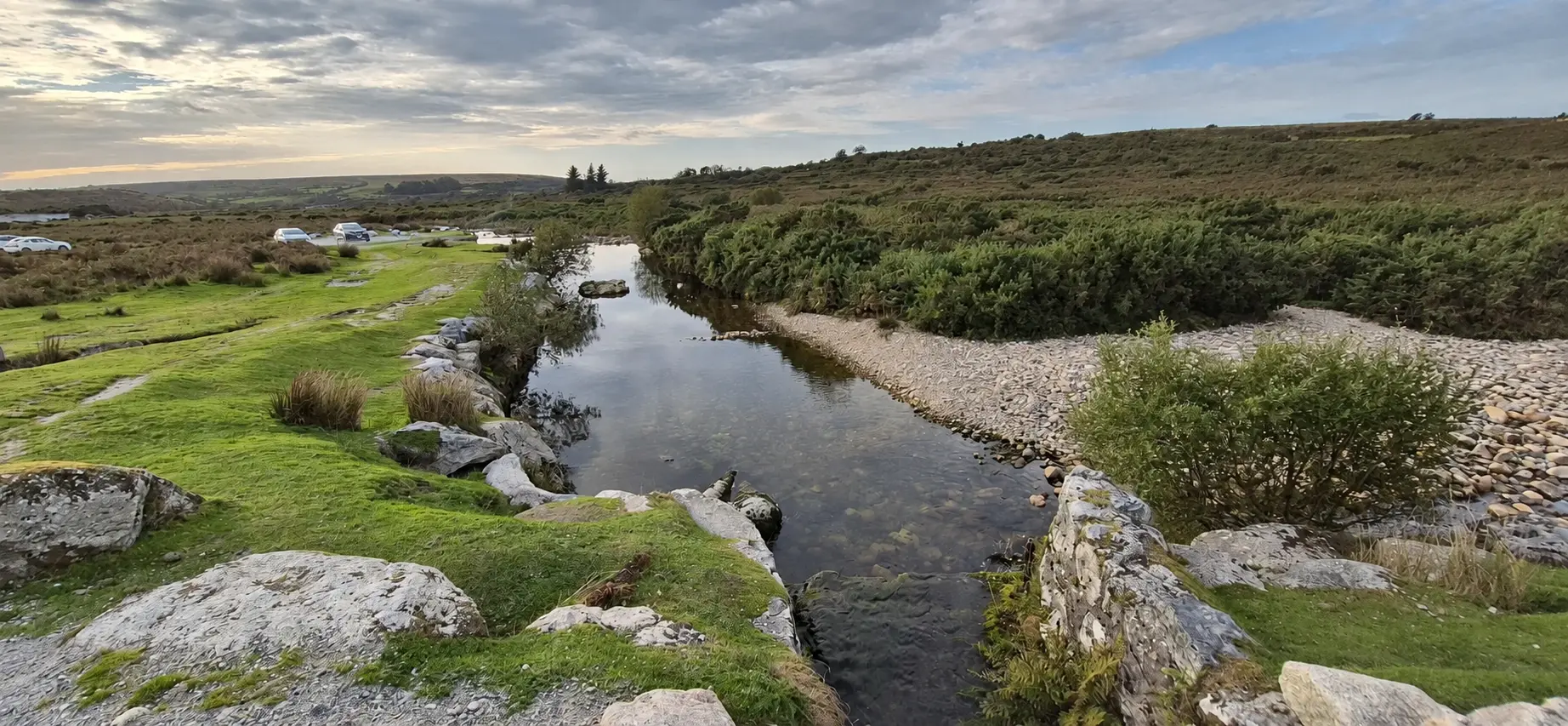
Setting off from Cadover Bridge at 3.20pm, I followed a trail alongside the River Plym. In true Dartmoor fashion, the path eventually disappeared into a sea of gorse and grass, leaving me to work out the next stage myself. Apparently, maintaining a visible trail for the entire journey would make things far too straightforward.
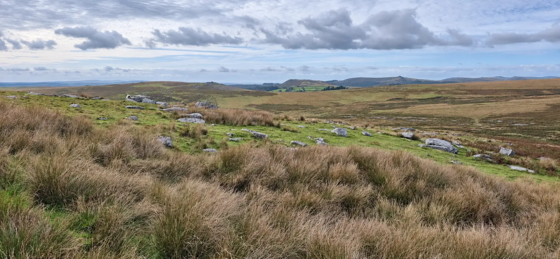
With the Trowlesworthy Tors on my right, I continued towards Hen Tor. Realising I was drifting away from my main destination, I adjusted my course, keeping Hen Tor to my right as I headed towards Shavercombe Brook.
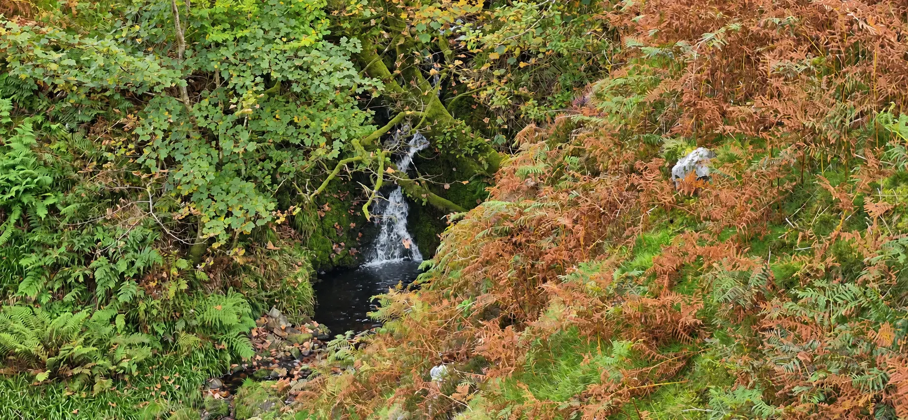
After roughly three miles, I reached the brook and followed it to Shavercombe Waterfall. Tucked among trees deep in the valley, it was somewhat underwhelming. It certainly wouldn’t top my list of favourite waterfalls, but it was another place ticked off the bucket list. Perhaps my expectations had arrived ahead of me.
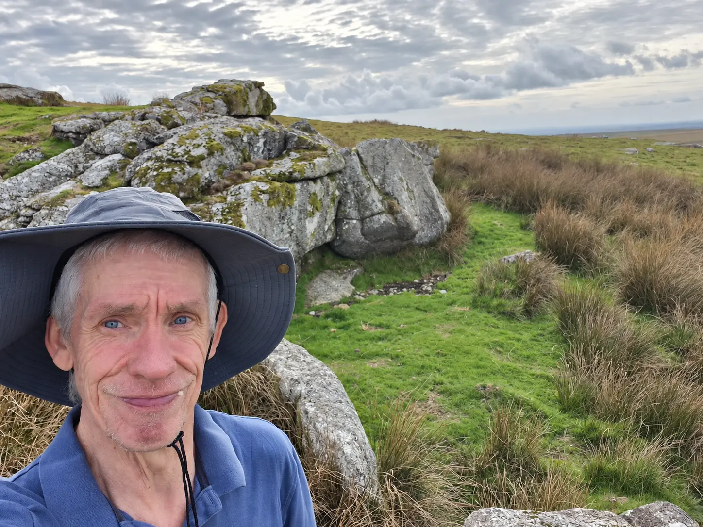
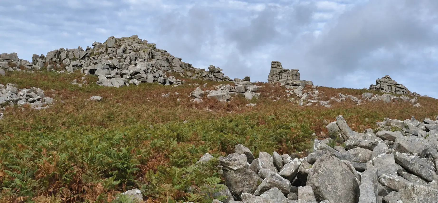
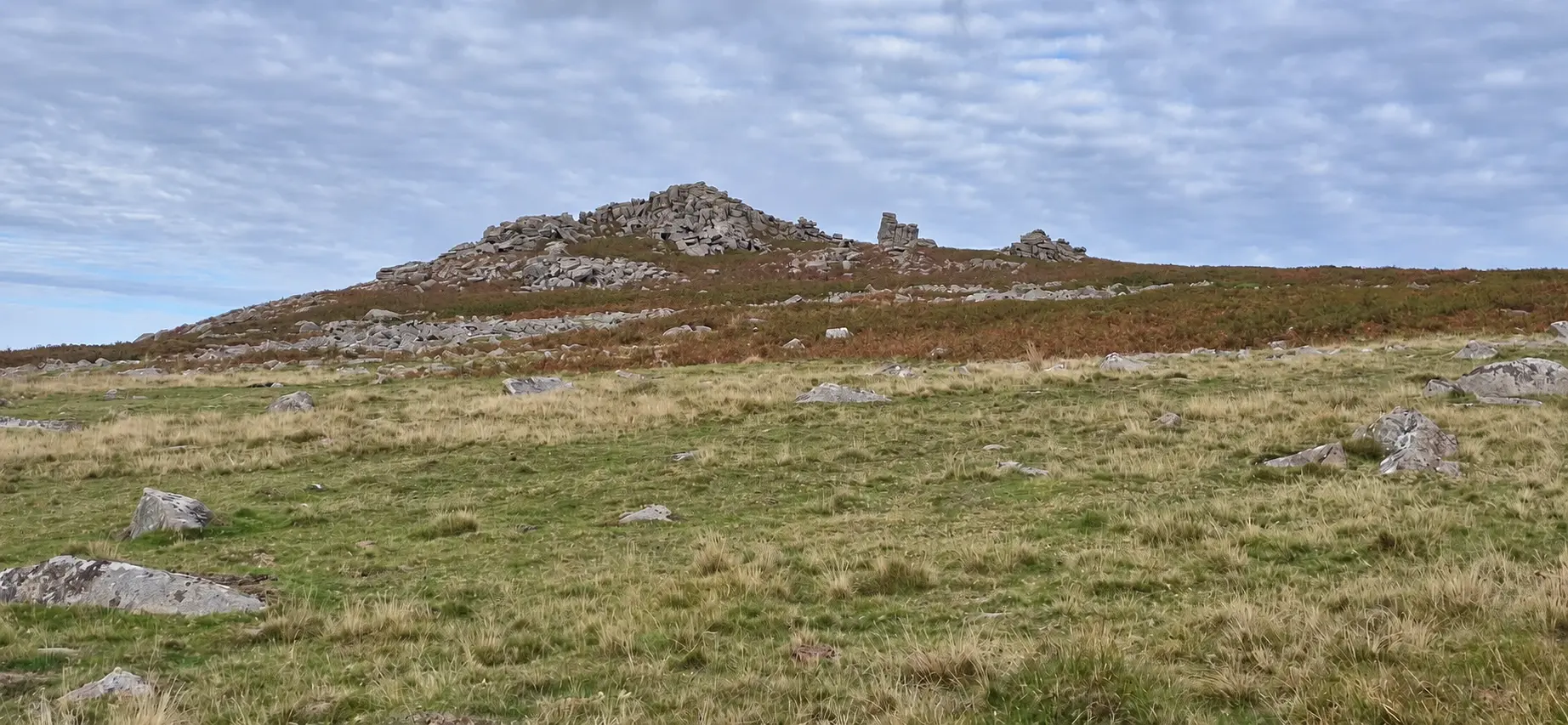
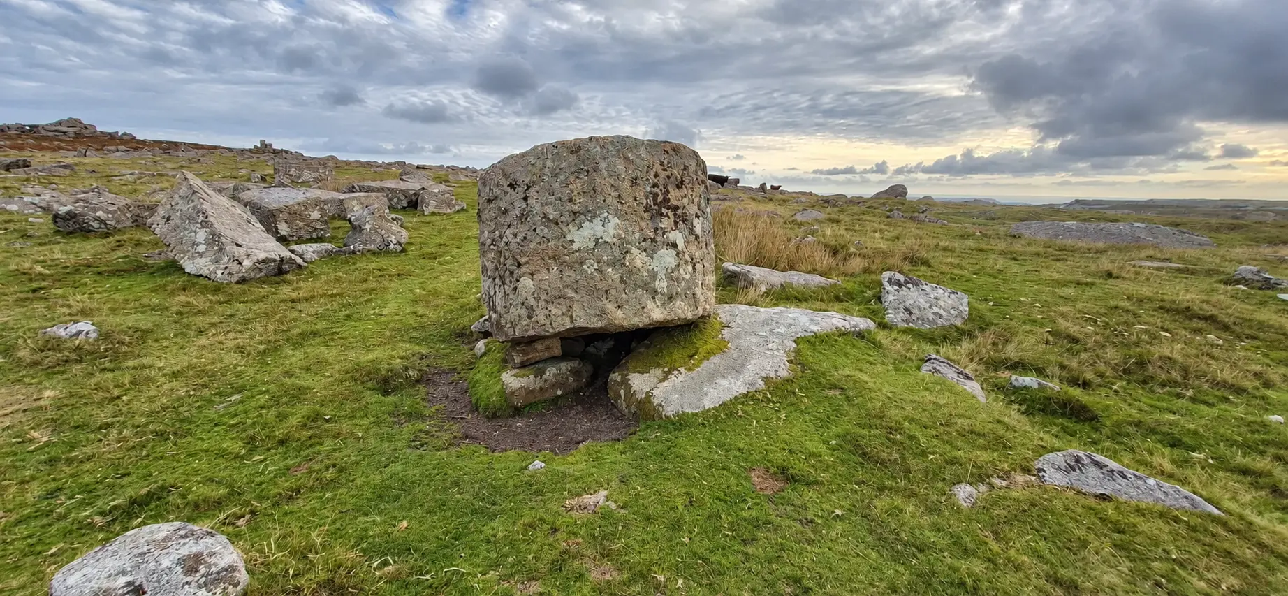
My next stop was Shavercombe Tor, which did little to raise the excitement levels. To my eyes, it looked more like a collection of scattered rocks than a tor. Still, it provided a spot for a 15-minute break before I continued to Hen Tor.
Reaching Hen Tor was relatively straightforward. Leaving it, however, turned into something of an endurance test. Clambering over masses of rocks and battling through gorse required considerably more effort than I had anticipated—particularly with that early alarm beginning to feel a very long time ago.
Eventually, I emerged onto friendlier terrain and headed towards Little Trowlesworthy Tor, before picking up the trail back to Cadover Bridge. I reached the car at 6.05pm, completing 6.33 miles in two hours and 45 minutes, including my break.
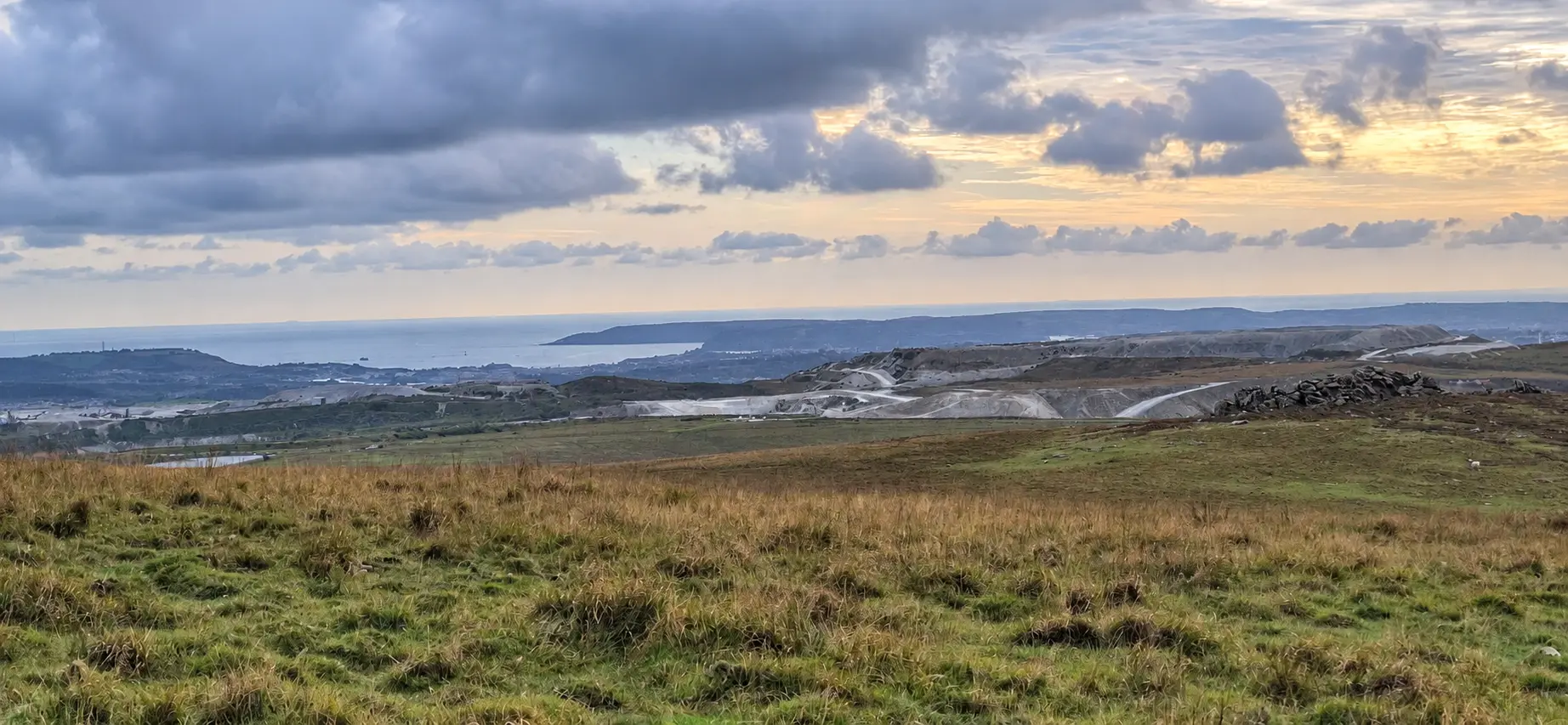
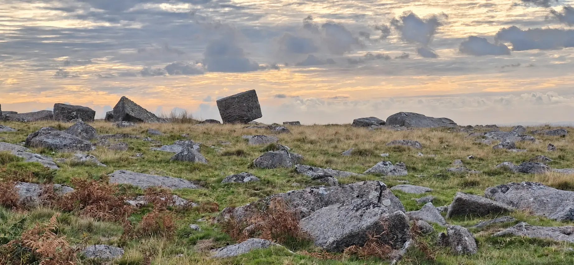
The weather felt closer to early summer than early autumn: dry and warm, with spells of sunshine and light winds. Excellent conditions for an afternoon on the moor, even if the attractions hadn’t quite lived up to expectations.
Not every waterfall delivers the wow factor, and not every tor looks particularly tor-like. Nevertheless, warm sunshine, fresh air and another corner of Dartmoor explored made it a worthwhile afternoon. The gorse could have been a little more welcoming.
What’s your favourite waterfall, and where is it? Share your recommendation in the comments—it might inspire my next adventure.
The route
Cadover Bridge → River Plym → Shavercombe Brook and Waterfall → Shavercombe Tor → Hen Tor → Little Trowlesworthy Tor → Cadover Bridge.
Uneven moorland, faint and disappearing paths, rocky ground and dense gorse in places.
An afternoon in photographs
Select a photograph to view it larger.
Location & getting there
Cadover Bridge, south-west Dartmoor, Devon
Parking & travel: Plenty of free parking at Cadover Bridge.
This map locates the place named above; use the report’s route links to follow the walk.